Distance to Thornwood, West Virginia

Calculating Your Route
Just a moment while we process your request...
Location Information
-
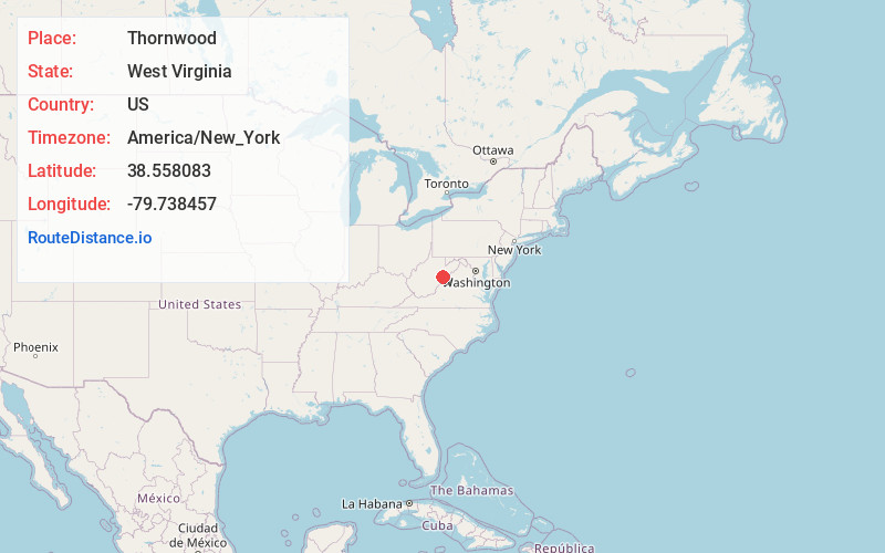
Full AddressThornwood, WV 24920
-
Coordinates38.558083, -79.738457
-
LocationThornwood , West Virginia , US
-
TimezoneAmerica/New_York
-
Current Local Time10:01:55 AM America/New_YorkThursday, May 29, 2025
-
Page Views0
About Thornwood
Thornwood is an unincorporated community in Pocahontas County, West Virginia, United States. Thornwood is on the East Fork of the Greenbrier River. US Route 250 passes approximately one-half mile to the south. It is approximately 5 miles east-northeast of Durbin.
Nearby Places
Found 10 places within 50 miles

Burner Mountain
2.3 mi
3.7 km
Burner Mountain, West Virginia 24920
Get directions

Bartow
2.7 mi
4.3 km
Bartow, WV 24920
Get directions
Frank
3.9 mi
6.3 km
Frank, WV
Get directions

Durbin
4.8 mi
7.7 km
Durbin, WV 26264
Get directions

Arbovale
9.5 mi
15.3 km
Arbovale, WV 24915
Get directions

Green Bank
10.8 mi
17.4 km
Green Bank, WV
Get directions
Wildell
10.8 mi
17.4 km
Wildell, WV 26264
Get directions

Monterey
13.2 mi
21.2 km
Monterey, VA 24465
Get directions
Vanderpool
14.4 mi
23.2 km
Vanderpool, VA 24465
Get directions

Circleville
15.5 mi
24.9 km
Circleville, WV 26804
Get directions
Location Links
Local Weather
Weather Information
Coming soon!
Location Map
Static map view of Thornwood, West Virginia
Browse Places by Distance
Places within specific distances from Thornwood
Short Distances
Long Distances
Click any distance to see all places within that range from Thornwood. Distances shown in miles (1 mile ≈ 1.61 kilometers).