Distance to Tin Town, Missouri

Calculating Your Route
Just a moment while we process your request...
Location Information
-
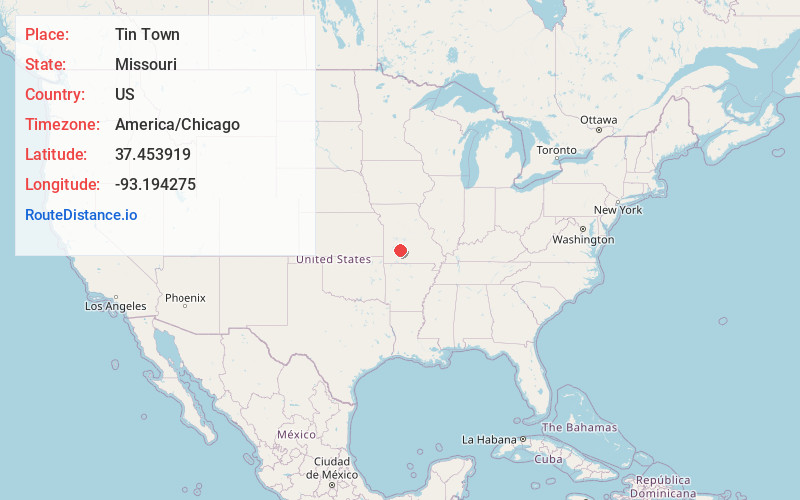
Full AddressTin Town, MO 65663
-
Coordinates37.453919, -93.194275
-
LocationTin Town , Missouri , US
-
TimezoneAmerica/Chicago
-
Current Local Time9:38:09 AM America/ChicagoSaturday, May 31, 2025
-
Page Views0
About Tin Town
Tin Town is an unincorporated community in southeastern Polk County, Missouri, United States, located on Route 215.
The town had previously been known as Gold and renamed for numerous homes with tin for roofs. Tin Town is the boyhood home of Rock-A-Billy star Ronnie Self.
Nearby Places
Found 10 places within 50 miles

Pleasant Hope
4.3 mi
6.9 km
Pleasant Hope, MO
Get directions

Olive
4.7 mi
7.6 km
Olive, Sheridan Township, MO 65648
Get directions

Fair Grove
5.4 mi
8.7 km
Fair Grove, MO 65648
Get directions
Schofield
6.8 mi
10.9 km
Schofield, South Benton Township, MO 65663
Get directions

Brighton
8.4 mi
13.5 km
Brighton, MO 65617
Get directions
Elkland
9.0 mi
14.5 km
Elkland, MO 65644
Get directions
Van
9.0 mi
14.5 km
Van, MO 65663
Get directions
Conklin
10.7 mi
17.2 km
Conklin, Grant Township, MO 65706
Get directions
Thorpe
11.0 mi
17.7 km
Thorpe, Jackson Township, MO 65644
Get directions
Caddo
11.2 mi
18.0 km
Caddo, Grant Township, MO 65757
Get directions
Location Links
Local Weather
Weather Information
Coming soon!
Location Map
Static map view of Tin Town, Missouri
Browse Places by Distance
Places within specific distances from Tin Town
Short Distances
Long Distances
Click any distance to see all places within that range from Tin Town. Distances shown in miles (1 mile ≈ 1.61 kilometers).