Distance to Topsail Island, North Carolina

Calculating Your Route
Just a moment while we process your request...
Location Information
-
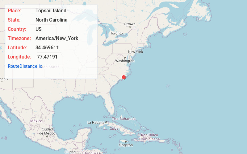
Full AddressTopsail Island, North Topsail Beach, NC 28460
-
Coordinates34.4696114, -77.4719099
-
LocationNorth Topsail Beach , North Carolina , US
-
TimezoneAmerica/New_York
-
Current Local Time5:29:42 AM America/New_YorkWednesday, June 18, 2025
-
Page Views0
About Topsail Island
Accessible by car, this 26-m.-long barrier island offers maritime forests & a sea turtle sanctuary.


Nearby Places
Found 10 places within 50 miles

Thomas Landing
1.2 mi
1.9 km
Thomas Landing, NC 28445
Get directions
Folkstone
5.0 mi
8.0 km
Folkstone, NC 28445
Get directions
Holly Ridge
5.1 mi
8.2 km
Holly Ridge, NC 28445
Get directions

Surf City
5.1 mi
8.2 km
Surf City, NC
Get directions

Sneads Ferry
7.1 mi
11.4 km
Sneads Ferry, NC 28460
Get directions
Watts Landing
7.5 mi
12.1 km
Watts Landing, NC 28443
Get directions
Dixon
8.1 mi
13.0 km
Dixon, NC 28445
Get directions
Peru
8.2 mi
13.2 km
Peru, Sneads Ferry, NC 28460
Get directions
Fulcher Landing
8.3 mi
13.4 km
Fulcher Landing, Sneads Ferry, NC 28460
Get directions

Sloop Point
8.5 mi
13.7 km
Sloop Point, NC 28443
Get directions
Location Links
Local Weather
Weather Information
Coming soon!
Location Map
Static map view of Topsail Island, North Carolina
Browse Places by Distance
Places within specific distances from Topsail Island
Short Distances
Long Distances
Click any distance to see all places within that range from Topsail Island. Distances shown in miles (1 mile ≈ 1.61 kilometers).