Distance to Trent, Kentucky

Calculating Your Route
Just a moment while we process your request...
Location Information
-
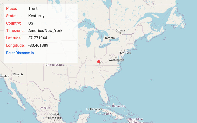
Full AddressTrent, KY 41301
-
Coordinates37.771944, -83.461389
-
LocationTrent , Kentucky , US
-
TimezoneAmerica/New_York
-
Current Local Time2:26:43 PM America/New_YorkTuesday, July 1, 2025
-
Page Views0
About Trent
Trent is an unincorporated community in Wolfe County, Kentucky, United States. It lies along Route 191 northeast of the city of Campton, the county seat of Wolfe County. Its elevation is 1,030 feet.
Nearby Places
Found 10 places within 50 miles

Stillwater
1.6 mi
2.6 km
Stillwater, KY 41301
Get directions
Toliver
2.9 mi
4.7 km
Toliver, KY 41332
Get directions
Baptist
3.0 mi
4.8 km
Baptist, KY 41301
Get directions
Hazel Green
3.0 mi
4.8 km
Hazel Green, KY 41332
Get directions
Landsaw
3.1 mi
5.0 km
Landsaw, KY 41301
Get directions
Murphyfork
4.6 mi
7.4 km
Murphyfork, KY 41332
Get directions
Lower Gillmore
5.1 mi
8.2 km
Lower Gillmore, KY 41332
Get directions
Maytown
5.4 mi
8.7 km
Maytown, KY 41425
Get directions

Campton
5.4 mi
8.7 km
Campton, KY 41301
Get directions
Upper Gillmore
6.3 mi
10.1 km
Upper Gillmore, KY 41301
Get directions
Location Links
Local Weather
Weather Information
Coming soon!
Location Map
Static map view of Trent, Kentucky
Browse Places by Distance
Places within specific distances from Trent
Short Distances
Long Distances
Click any distance to see all places within that range from Trent. Distances shown in miles (1 mile ≈ 1.61 kilometers).