Distance to Twightwee, Ohio

Calculating Your Route
Just a moment while we process your request...
Location Information
-
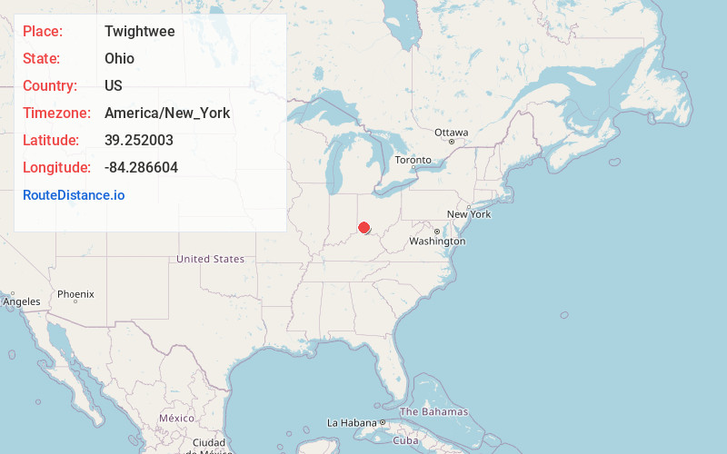
Full AddressTwightwee, OH 45140
-
Coordinates39.252003, -84.2866044
-
LocationTwightwee , Ohio , US
-
TimezoneAmerica/New_York
-
Current Local Time1:20:16 AM America/New_YorkSaturday, May 31, 2025
-
Page Views0
Nearby Places
Found 10 places within 50 miles

Miami Grove
1.6 mi
2.6 km
Miami Grove, Symmes Township, OH 45140
Get directions

Loveland
1.7 mi
2.7 km
Loveland, OH 45140
Get directions
Remington
2.5 mi
4.0 km
Remington, OH
Get directions
Sixteen Mile Stand
2.6 mi
4.2 km
Sixteen Mile Stand, OH 45249
Get directions
Miamiville
2.8 mi
4.5 km
Miamiville, OH
Get directions
Jones Farm
2.9 mi
4.7 km
Jones Farm, Montgomery, OH 45242
Get directions

Loveland Park
3.5 mi
5.6 km
Loveland Park, OH
Get directions

Camp Dennison
3.7 mi
6.0 km
Camp Dennison, OH
Get directions

Montgomery
4.0 mi
6.4 km
Montgomery, OH
Get directions
Top-Of-The-Ridge
4.0 mi
6.4 km
Top-Of-The-Ridge, Miami Township, OH 45150
Get directions
Location Links
Local Weather
Weather Information
Coming soon!
Location Map
Static map view of Twightwee, Ohio
Browse Places by Distance
Places within specific distances from Twightwee
Short Distances
Long Distances
Click any distance to see all places within that range from Twightwee. Distances shown in miles (1 mile ≈ 1.61 kilometers).