Distance to Twin Buttes, North Dakota

Calculating Your Route
Just a moment while we process your request...
Location Information
-
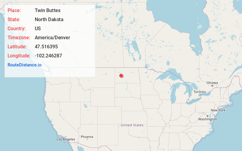
Full AddressTwin Buttes, ND 58636
-
Coordinates47.5163947, -102.2462867
-
LocationTwin Buttes , North Dakota , US
-
TimezoneAmerica/Denver
-
Current Local Time1:59:05 PM America/DenverThursday, June 19, 2025
-
Page Views0
About Twin Buttes
Twin Buttes is an unincorporated community in Dunn County, North Dakota, United States. It is a community on the Fort Berthold Indian Reservation, which is home of the Mandan, Hidatsa, and Arikara Three Affiliated Tribes. Twin Buttes is 2 miles south of Lake Sakakawea, and 12 miles north-northeast of Halliday.


Nearby Places
Found 10 places within 50 miles

Halliday
11.9 mi
19.2 km
Halliday, ND 58636
Get directions

Dodge
14.7 mi
23.7 km
Dodge, ND 58625
Get directions

Golden Valley
17.8 mi
28.6 km
Golden Valley, ND 58541
Get directions

Raub
18.5 mi
29.8 km
Raub, ND 58770
Get directions
Dunn Center
20.8 mi
33.5 km
Dunn Center, ND 58626
Get directions

White Shield
21.2 mi
34.1 km
White Shield, ND
Get directions

Zap
21.9 mi
35.2 km
Zap, ND 58580
Get directions

Mandaree
24.9 mi
40.1 km
Mandaree, ND 58757
Get directions

Beulah
28.0 mi
45.1 km
Beulah, ND 58523
Get directions
Emmet
29.1 mi
46.8 km
Emmet, ND 58540
Get directions
Location Links
Local Weather
Weather Information
Coming soon!
Location Map
Static map view of Twin Buttes, North Dakota
Browse Places by Distance
Places within specific distances from Twin Buttes
Short Distances
Long Distances
Click any distance to see all places within that range from Twin Buttes. Distances shown in miles (1 mile ≈ 1.61 kilometers).