Distance to and from Una, California
Una, Bakersfield, CA 93314
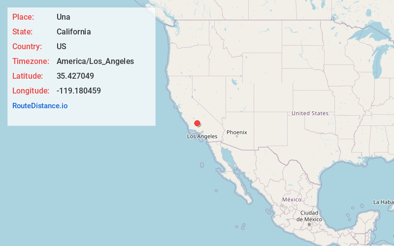
Bakersfield
California
US
America/Los_Angeles
Location Information
-
Full AddressUna, Bakersfield, CA 93314
-
Coordinates35.4270486, -119.1804588
-
NeighborhoodUna
-
LocationBakersfield , California , US
-
TimezoneAmerica/Los_Angeles
-
Current Local Time8:58:43 PM America/Los_AngelesMonday, May 5, 2025
-
Page Views0
Directions to Nearest Cities
Nearby Places
Found 10 places within 50 miles

Rosedale
3.6 mi
5.8 km
Rosedale, CA
Get directions

Prospero
4.3 mi
6.9 km
Prospero, CA 93314
Get directions
Lerdo
4.6 mi
7.4 km
Lerdo, CA 93314
Get directions
Greenacres
5.0 mi
8.0 km
Greenacres, CA 93312
Get directions
Cawelo
5.1 mi
8.2 km
Cawelo, Shafter, CA 93314
Get directions
Saco
5.2 mi
8.4 km
Saco, CA 93314
Get directions
Minter Village
5.3 mi
8.5 km
Minter Village, Shafter, CA 93263
Get directions
Cherokee Strip
5.3 mi
8.5 km
Cherokee Strip, CA 93263
Get directions

Rio Bravo-Greeley Union Elementary School District
5.8 mi
9.3 km
Rio Bravo-Greeley Union Elementary School District, CA
Get directions
Smith Corner
6.6 mi
10.6 km
Smith Corner, CA 93263
Get directions
Rosedale
3.6 mi
5.8 km
Rosedale, CA
Prospero
4.3 mi
6.9 km
Prospero, CA 93314
Lerdo
4.6 mi
7.4 km
Lerdo, CA 93314
Greenacres
5.0 mi
8.0 km
Greenacres, CA 93312
Cawelo
5.1 mi
8.2 km
Cawelo, Shafter, CA 93314
Saco
5.2 mi
8.4 km
Saco, CA 93314
Minter Village
5.3 mi
8.5 km
Minter Village, Shafter, CA 93263
Cherokee Strip
5.3 mi
8.5 km
Cherokee Strip, CA 93263
Rio Bravo-Greeley Union Elementary School District
5.8 mi
9.3 km
Rio Bravo-Greeley Union Elementary School District, CA
Smith Corner
6.6 mi
10.6 km
Smith Corner, CA 93263
Location Links
Local Weather
Weather Information
Coming soon!
Location Map
Static map view of Una, California
Browse Places by Distance
Places within specific distances from Una
Short Distances
Long Distances
Click any distance to see all places within that range from Una. Distances shown in miles (1 mile ≈ 1.61 kilometers).