Distance to Uniontown, Missouri

Calculating Your Route
Just a moment while we process your request...
Location Information
-
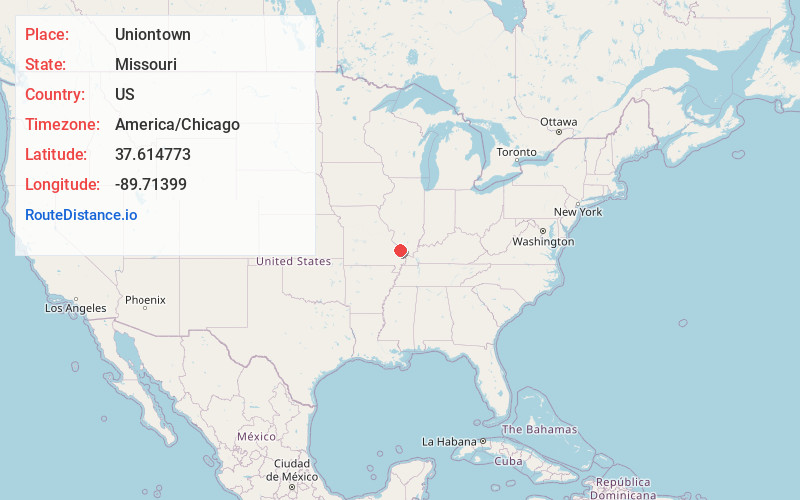
Full AddressUniontown, MO 63775
-
Coordinates37.6147734, -89.71399
-
LocationUniontown , Missouri , US
-
TimezoneAmerica/Chicago
-
Current Local Time1:51:19 AM America/ChicagoSaturday, June 21, 2025
-
Page Views0
About Uniontown
Uniontown is an unincorporated community located in Union Township in southeastern Perry County, Missouri, United States. It is situated on U.S. Route 61, ten miles southeast of Perryville.
Nearby Places
Found 10 places within 50 miles

Old Appleton
1.2 mi
1.9 km
Old Appleton, MO
Get directions

Apple Creek
2.0 mi
3.2 km
Apple Creek, MO 63775
Get directions

Longtown
5.0 mi
8.0 km
Longtown, MO 63775
Get directions
Frohna
5.3 mi
8.5 km
Frohna, MO 63748
Get directions
Shawneetown
5.6 mi
9.0 km
Shawneetown, MO 63755
Get directions
New Wells
6.4 mi
10.3 km
New Wells, MO
Get directions
Biehle
7.0 mi
11.3 km
Biehle, MO 63775
Get directions

Altenburg
7.1 mi
11.4 km
Altenburg, MO
Get directions
Friedenberg
7.4 mi
11.9 km
Friedenberg, Central Township, MO 63775
Get directions
Daisy
7.6 mi
12.2 km
Daisy, MO 63769
Get directions
Location Links
Local Weather
Weather Information
Coming soon!
Location Map
Static map view of Uniontown, Missouri
Browse Places by Distance
Places within specific distances from Uniontown
Short Distances
Long Distances
Click any distance to see all places within that range from Uniontown. Distances shown in miles (1 mile ≈ 1.61 kilometers).