Distance to Ute Park, New Mexico

Calculating Your Route
Just a moment while we process your request...
Location Information
-
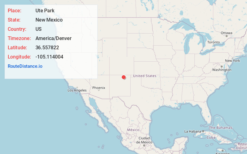
Full AddressUte Park, NM 87749
-
Coordinates36.5578224, -105.1140041
-
LocationUte Park , New Mexico , US
-
TimezoneAmerica/Denver
-
Current Local Time10:30:19 AM America/DenverFriday, May 30, 2025
-
Page Views0
About Ute Park
Ute Park is an unincorporated community and census-designated place in Colfax County, New Mexico, United States. As of the 2010 census it had a population of 71. It was formerly part of the Maxwell Land Grant.
Ute Park lies on U.S. Route 64 between Cimarron and Eagle Nest, just east of Cimarron Canyon State Park.


Nearby Places
Found 10 places within 50 miles

Eagle Nest
8.3 mi
13.4 km
Eagle Nest, NM
Get directions

Cimarron
11.5 mi
18.5 km
Cimarron, NM 87714
Get directions

Angel Fire
14.8 mi
23.8 km
Angel Fire, NM
Get directions

Red River
19.2 mi
30.9 km
Red River, NM
Get directions

Taos Pueblo
25.3 mi
40.7 km
Taos Pueblo, NM
Get directions

Arroyo Seco
25.4 mi
40.9 km
Arroyo Seco, NM
Get directions

Arroyo Hondo
30.7 mi
49.4 km
Arroyo Hondo, NM 87529
Get directions

Ranchos De Taos
30.8 mi
49.6 km
Ranchos De Taos, NM
Get directions

Maxwell
31.7 mi
51.0 km
Maxwell, NM 87728
Get directions

Springer
31.9 mi
51.3 km
Springer, NM 87747
Get directions
Location Links
Local Weather
Weather Information
Coming soon!
Location Map
Static map view of Ute Park, New Mexico
Browse Places by Distance
Places within specific distances from Ute Park
Short Distances
Long Distances
Click any distance to see all places within that range from Ute Park. Distances shown in miles (1 mile ≈ 1.61 kilometers).