Distance to Valentine, Arizona

Calculating Your Route
Just a moment while we process your request...
Location Information
-
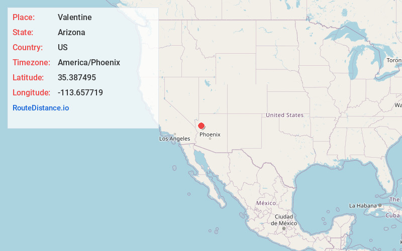
Full AddressValentine, AZ 86437
-
Coordinates35.3874951, -113.6577185
-
LocationValentine , Arizona , US
-
TimezoneAmerica/Phoenix
-
Current Local Time2:00:16 AM America/PhoenixSaturday, June 14, 2025
-
Page Views0
About Valentine
Valentine is an unincorporated community and census-designated place in Mohave County, Arizona, United States. As of the 2020 census it had a population of 39. Valentine is located on Arizona State Route 66 32 miles northeast of Kingman.


Nearby Places
Found 10 places within 50 miles

Hackberry
4.1 mi
6.6 km
Hackberry, AZ 86411
Get directions

Peach Springs
16.3 mi
26.2 km
Peach Springs, AZ 86434
Get directions

New Kingman-Butler
22.2 mi
35.7 km
New Kingman-Butler, AZ 86409
Get directions

Kingman
26.1 mi
42.0 km
Kingman, AZ
Get directions

Chloride
30.5 mi
49.1 km
Chloride, AZ
Get directions

Golden Valley
33.8 mi
54.4 km
Golden Valley, AZ 86413
Get directions

Dolan Springs
37.4 mi
60.2 km
Dolan Springs, AZ 86441
Get directions

Seligman
44.2 mi
71.1 km
Seligman, AZ 86337
Get directions

Yucca
45.2 mi
72.7 km
Yucca, AZ 86438
Get directions

White Hills
46.0 mi
74.0 km
White Hills, AZ
Get directions
Location Links
Local Weather
Weather Information
Coming soon!
Location Map
Static map view of Valentine, Arizona
Browse Places by Distance
Places within specific distances from Valentine
Short Distances
Long Distances
Click any distance to see all places within that range from Valentine. Distances shown in miles (1 mile ≈ 1.61 kilometers).