Distance to Ventucopa, California

Calculating Your Route
Just a moment while we process your request...
Location Information
-
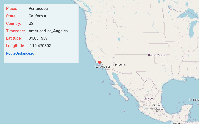
Full AddressVentucopa, CA 93252
-
Coordinates34.831539, -119.470802
-
LocationVentucopa , California , US
-
TimezoneAmerica/Los_Angeles
-
Current Local Time7:16:20 PM America/Los_AngelesTuesday, May 27, 2025
-
Page Views0
About Ventucopa
Ventucopa is an unincorporated community in the southeastern Cuyama Valley, within eastern Santa Barbara County, California, United States. Ventucopa has a population of 92 people and is located an elevation of 2,896 feet. It is an agricultural area situated near the Cuyama River.
Nearby Places
Found 10 places within 50 miles

Cuyama
10.8 mi
17.4 km
Cuyama, CA 93254
Get directions

New Cuyama
14.5 mi
23.3 km
New Cuyama, CA 93254
Get directions

Hazelton
15.4 mi
24.8 km
Hazelton, CA 93252
Get directions

Maricopa
16.2 mi
26.1 km
Maricopa, CA 93252
Get directions
Pentland
17.1 mi
27.5 km
Pentland, CA 93311
Get directions

Pine Mountain Club
17.9 mi
28.8 km
Pine Mountain Club, CA
Get directions
Spellacy
19.5 mi
31.4 km
Spellacy, CA 93268
Get directions
San Emidio
20.5 mi
33.0 km
San Emidio, CA 93311
Get directions
Taft Heights
20.9 mi
33.6 km
Taft Heights, CA 93268
Get directions
South Taft
21.0 mi
33.8 km
South Taft, CA 93268
Get directions
Location Links
Local Weather
Weather Information
Coming soon!
Location Map
Static map view of Ventucopa, California
Browse Places by Distance
Places within specific distances from Ventucopa
Short Distances
Long Distances
Click any distance to see all places within that range from Ventucopa. Distances shown in miles (1 mile ≈ 1.61 kilometers).