Distance to Waring, Texas

Calculating Your Route
Just a moment while we process your request...
Location Information
-
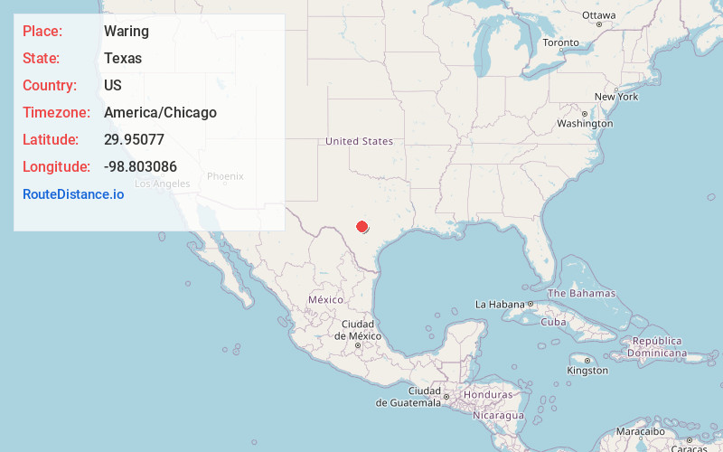
Full AddressWaring, TX 78006
-
Coordinates29.9507704, -98.8030859
-
LocationWaring , Texas , US
-
TimezoneAmerica/Chicago
-
Current Local Time6:15:58 AM America/ChicagoFriday, May 23, 2025
-
Page Views0
About Waring
Waring is an unincorporated community in northwestern Kendall County, Texas, United States. It lies along local roads and the Guadalupe River, northwest of the city of Boerne, the county seat of Kendall County. Its elevation is 1,345 feet.
Nearby Places
Found 10 places within 50 miles

Comfort
6.2 mi
10.0 km
Comfort, TX 78013
Get directions

Boerne
11.6 mi
18.7 km
Boerne, TX
Get directions

Bankersmith
12.1 mi
19.5 km
Bankersmith, TX 78624
Get directions

Center Point
14.1 mi
22.7 km
Center Point, TX
Get directions
Kendalia
16.9 mi
27.2 km
Kendalia, TX 78013
Get directions

Fair Oaks Ranch
18.0 mi
29.0 km
Fair Oaks Ranch, TX
Get directions
Blumenthal
19.1 mi
30.7 km
Blumenthal, TX 78624
Get directions

Albert
20.7 mi
33.3 km
Albert, TX 78671
Get directions

Kerrville
21.3 mi
34.3 km
Kerrville, TX 78028
Get directions

Stonewall
21.4 mi
34.4 km
Stonewall, TX
Get directions
Location Links
Local Weather
Weather Information
Coming soon!
Location Map
Static map view of Waring, Texas
Browse Places by Distance
Places within specific distances from Waring
Short Distances
Long Distances
Click any distance to see all places within that range from Waring. Distances shown in miles (1 mile ≈ 1.61 kilometers).