Distance to Watkins, Iowa

Calculating Your Route
Just a moment while we process your request...
Location Information
-
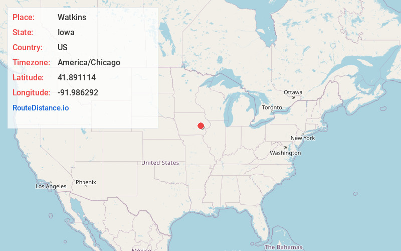
Full AddressWatkins, IA 52354
-
Coordinates41.8911137, -91.9862916
-
LocationWatkins , Iowa , US
-
TimezoneAmerica/Chicago
-
Current Local Time2:30:20 PM America/ChicagoTuesday, May 20, 2025
-
Page Views0
About Watkins
Watkins is an unincorporated community and census-designated place in southeastern Benton County, Iowa, United States. As of the 2020 census, it had a population of 116. Watkins lies along local roads south of the city of Vinton, the county seat of Benton County. Its elevation is 830 feet above sea level.


Nearby Places
Found 10 places within 50 miles

Norway
3.4 mi
5.5 km
Norway, IA 52318
Get directions

Blairstown
5.2 mi
8.4 km
Blairstown, IA 52209
Get directions

West Amana
5.9 mi
9.5 km
West Amana, IA 52203
Get directions

High Amana
6.6 mi
10.6 km
High Amana, IA 52203
Get directions
Newhall
7.3 mi
11.7 km
Newhall, IA 52315
Get directions

Walford
7.9 mi
12.7 km
Walford, IA
Get directions

Middle Amana
8.0 mi
12.9 km
Middle Amana, IA
Get directions

South Amana
8.0 mi
12.9 km
South Amana, IA 52334
Get directions

Marengo
8.0 mi
12.9 km
Marengo, IA 52301
Get directions
Atkins
9.7 mi
15.6 km
Atkins, IA 52206
Get directions
Location Links
Local Weather
Weather Information
Coming soon!
Location Map
Static map view of Watkins, Iowa
Browse Places by Distance
Places within specific distances from Watkins
Short Distances
Long Distances
Click any distance to see all places within that range from Watkins. Distances shown in miles (1 mile ≈ 1.61 kilometers).