Distance to West Amana, Iowa

Calculating Your Route
Just a moment while we process your request...
Location Information
-
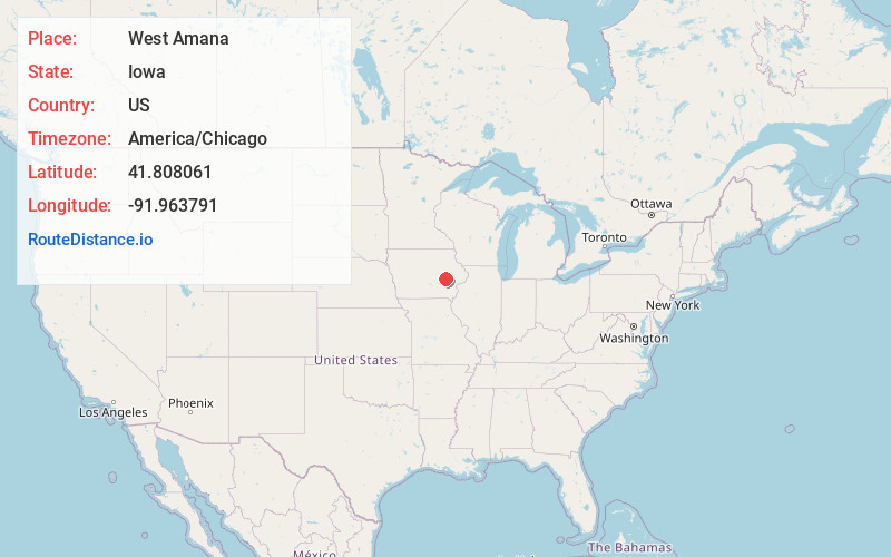
Full AddressWest Amana, IA 52203
-
Coordinates41.808061, -91.9637905
-
LocationWest Amana , Iowa , US
-
TimezoneAmerica/Chicago
-
Current Local Time6:59:46 PM America/ChicagoFriday, May 30, 2025
-
Page Views0
About West Amana
West Amana is an unincorporated community and census-designated place in Iowa County, Iowa, United States, and is part of the "seven villages" of the Amana Colonies. As of the 2020 census, the population of West Amana was 140.


Nearby Places
Found 10 places within 50 miles

High Amana
1.4 mi
2.3 km
High Amana, IA 52203
Get directions

South Amana
2.2 mi
3.5 km
South Amana, IA 52334
Get directions

Middle Amana
3.4 mi
5.5 km
Middle Amana, IA
Get directions

Marengo
5.6 mi
9.0 km
Marengo, IA 52301
Get directions

Conroy
5.7 mi
9.2 km
Conroy, IA
Get directions
Homestead
6.0 mi
9.7 km
Homestead, IA 52236
Get directions

Norway
6.9 mi
11.1 km
Norway, IA 52318
Get directions

Walford
8.2 mi
13.2 km
Walford, IA
Get directions

Blairstown
9.3 mi
15.0 km
Blairstown, IA 52209
Get directions

Williamsburg
10.4 mi
16.7 km
Williamsburg, IA 52361
Get directions
Location Links
Local Weather
Weather Information
Coming soon!
Location Map
Static map view of West Amana, Iowa
Browse Places by Distance
Places within specific distances from West Amana
Short Distances
Long Distances
Click any distance to see all places within that range from West Amana. Distances shown in miles (1 mile ≈ 1.61 kilometers).