Distance to Watts, South Carolina

Calculating Your Route
Just a moment while we process your request...
Location Information
-
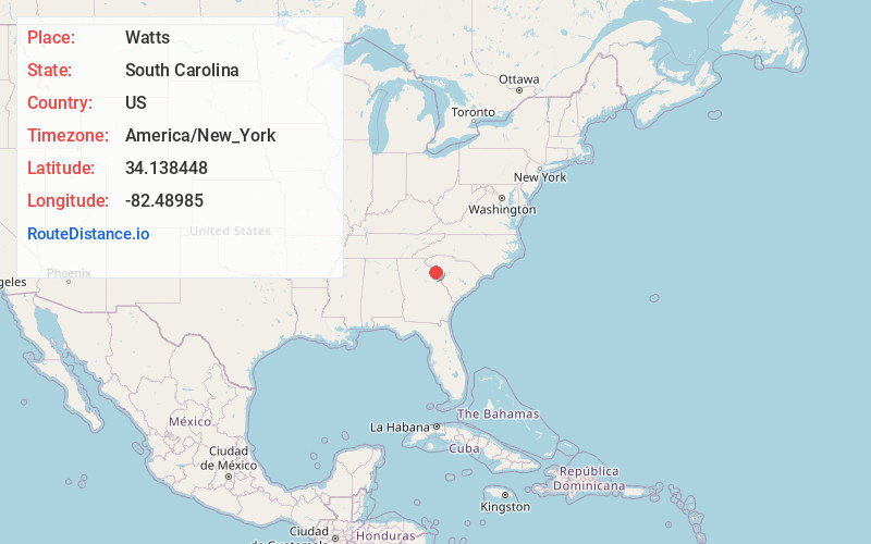
Full AddressWatts, SC 29620
-
Coordinates34.1384479, -82.4898504
-
LocationSouth Carolina , US
-
TimezoneAmerica/New_York
-
Current Local Time6:22:20 AM America/New_YorkThursday, June 19, 2025
-
Page Views0
Nearby Places
Found 10 places within 50 miles

Latimer
5.9 mi
9.5 km
Latimer, SC 29628
Get directions

Calhoun Falls
6.8 mi
10.9 km
Calhoun Falls, SC 29628
Get directions

Abbeville
6.9 mi
11.1 km
Abbeville, SC 29620
Get directions

Calhoun Mill
7.4 mi
11.9 km
Calhoun Mill, SC 29620
Get directions
Belcher Crossroads
7.4 mi
11.9 km
Belcher Crossroads, SC 29848
Get directions

Mt Carmel
9.1 mi
14.6 km
Mt Carmel, SC
Get directions
Lowndesville
10.5 mi
16.9 km
Lowndesville, SC
Get directions

Willington
11.6 mi
18.7 km
Willington, SC
Get directions
Millers Mill
11.8 mi
19.0 km
Millers Mill, SC 29620
Get directions
Antreville
11.8 mi
19.0 km
Antreville, SC
Get directions
Location Links
Local Weather
Weather Information
Coming soon!
Location Map
Static map view of Watts, South Carolina
Browse Places by Distance
Places within specific distances from Watts
Short Distances
Long Distances
Click any distance to see all places within that range from Watts. Distances shown in miles (1 mile ≈ 1.61 kilometers).