Distance to West Menlo Park, California

Calculating Your Route
Just a moment while we process your request...
Location Information
-
Full AddressWest Menlo Park, CA
-
Coordinates37.4335499, -122.2030209
-
LocationWest Menlo Park , California , US
-
TimezoneAmerica/Los_Angeles
-
Current Local Time5:34:11 AM America/Los_AngelesThursday, June 5, 2025
-
Page Views0
About West Menlo Park
West Menlo Park is a census-designated place and an Unincorporated community in San Mateo County, California, located between the majority of City of Menlo Park, the Town of Atherton, the Sharon Heights neighborhood of Menlo Park and Stanford University. As of the 2020 census, the community had a population of 3,930.
Nearby Places
Found 10 places within 50 miles

Menlo Park
1.8 mi
2.9 km
Menlo Park, CA
Get directions

Atherton
1.9 mi
3.1 km
Atherton, CA
Get directions

Stanford
2.1 mi
3.4 km
Stanford, CA
Get directions

Woodside
2.8 mi
4.5 km
Woodside, CA
Get directions

Palo Alto
3.3 mi
5.3 km
Palo Alto, CA
Get directions

Redwood City
3.8 mi
6.1 km
Redwood City, CA
Get directions

Portola Valley
3.8 mi
6.1 km
Portola Valley, CA
Get directions

Emerald Hills
4.2 mi
6.8 km
Emerald Hills, CA 94062
Get directions

East Palo Alto
4.2 mi
6.8 km
East Palo Alto, CA
Get directions

Los Altos Hills
5.2 mi
8.4 km
Los Altos Hills, CA
Get directions
Location Links
Local Weather
Weather Information
Coming soon!
Location Map
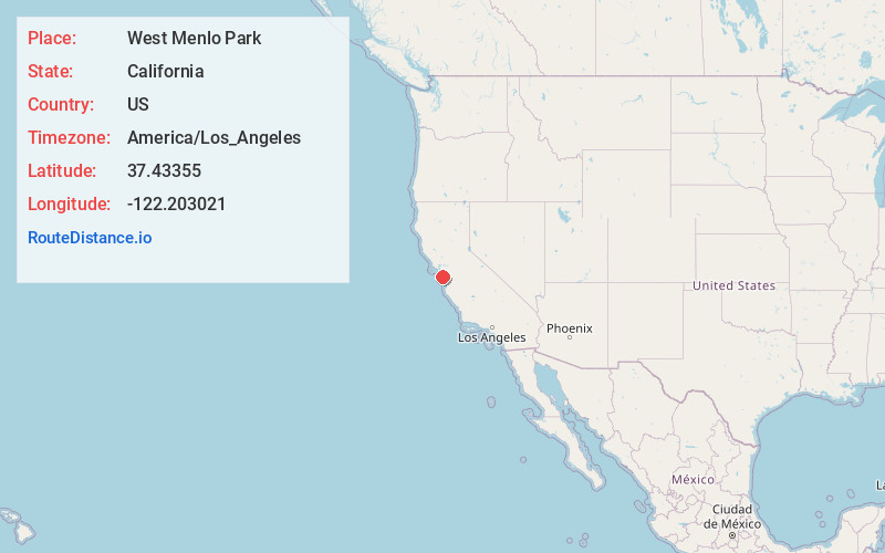
Static map view of West Menlo Park, California
Browse Places by Distance
Places within specific distances from West Menlo Park
Short Distances
Long Distances
Click any distance to see all places within that range from West Menlo Park. Distances shown in miles (1 mile ≈ 1.61 kilometers).