Distance to West Onslow Beach, North Carolina

Calculating Your Route
Just a moment while we process your request...
Location Information
-
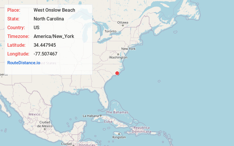
Full AddressWest Onslow Beach, North Topsail Beach, NC 28460
-
Coordinates34.4479452, -77.5074674
-
NeighborhoodWest Onslow Beach
-
LocationNorth Topsail Beach , North Carolina , US
-
TimezoneAmerica/New_York
-
Current Local Time2:10:48 AM America/New_YorkSaturday, May 24, 2025
-
Page Views0
Nearby Places
Found 10 places within 50 miles

Surf City
2.6 mi
4.2 km
Surf City, NC
Get directions

Thomas Landing
3.2 mi
5.1 km
Thomas Landing, NC 28445
Get directions
Holly Ridge
4.3 mi
6.9 km
Holly Ridge, NC 28445
Get directions
Watts Landing
5.1 mi
8.2 km
Watts Landing, NC 28443
Get directions

Sloop Point
6.0 mi
9.7 km
Sloop Point, NC 28443
Get directions
Folkstone
6.1 mi
9.8 km
Folkstone, NC 28445
Get directions
Woodside
8.2 mi
13.2 km
Woodside, NC 28443
Get directions

Topsail Beach
9.1 mi
14.6 km
Topsail Beach, NC
Get directions

Sneads Ferry
9.6 mi
15.4 km
Sneads Ferry, NC 28460
Get directions
Dixon
9.7 mi
15.6 km
Dixon, NC 28445
Get directions
Location Links
Local Weather
Weather Information
Coming soon!
Location Map
Static map view of West Onslow Beach, North Carolina
Browse Places by Distance
Places within specific distances from West Onslow Beach
Short Distances
Long Distances
Click any distance to see all places within that range from West Onslow Beach. Distances shown in miles (1 mile ≈ 1.61 kilometers).