Distance to White Butte, South Dakota

Calculating Your Route
Just a moment while we process your request...
Location Information
-
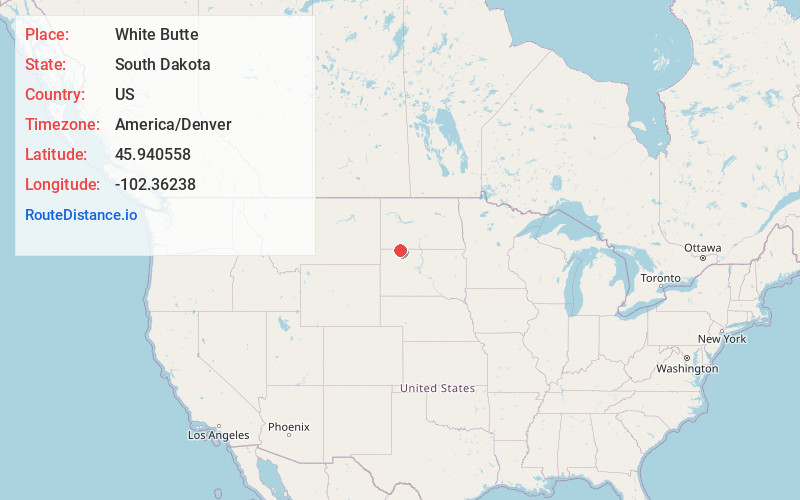
Full AddressWhite Butte, SD 57638
-
Coordinates45.9405575, -102.3623796
-
LocationWhite Butte , South Dakota , US
-
TimezoneAmerica/Denver
-
Current Local Time7:17:39 PM America/DenverWednesday, June 18, 2025
-
Page Views0
Nearby Places
Found 10 places within 50 miles

Petrel
4.5 mi
7.2 km
Petrel, Gilstrap Township, ND 57638
Get directions
Haynes
5.7 mi
9.2 km
Haynes, ND 58639
Get directions

Lemmon
9.8 mi
15.8 km
Lemmon, SD 57638
Get directions
North Lemmon
9.8 mi
15.8 km
North Lemmon, ND 57638
Get directions

Hettinger
13.8 mi
22.2 km
Hettinger, ND 58639
Get directions
Summerville
14.6 mi
23.5 km
Summerville, SD 57638
Get directions
Shadehill
15.0 mi
24.1 km
Shadehill, SD 57638
Get directions
Lodgepole Creek
15.8 mi
25.4 km
Lodgepole Creek, Lodgepole Township, SD 57640
Get directions
Thunder Hawk
18.6 mi
29.9 km
Thunder Hawk, SD 57638
Get directions
Bucyrus
22.1 mi
35.6 km
Bucyrus, ND 58639
Get directions
Location Links
Local Weather
Weather Information
Coming soon!
Location Map
Static map view of White Butte, South Dakota
Browse Places by Distance
Places within specific distances from White Butte
Short Distances
Long Distances
Click any distance to see all places within that range from White Butte. Distances shown in miles (1 mile ≈ 1.61 kilometers).