Distance to and from White Clay, Nebraska
White Clay, NE 69360
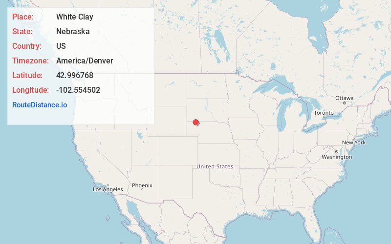
White Clay
Nebraska
US
America/Denver
Location Information
-
Full AddressWhite Clay, NE 69360
-
Coordinates42.9967677, -102.5545021
-
LocationWhite Clay , Nebraska , US
-
TimezoneAmerica/Denver
-
Current Local Time4:37:00 AM America/DenverSunday, May 4, 2025
-
Page Views0
Directions to Nearest Cities
About White Clay
Whiteclay is a census-designated place in Sheridan County, Nebraska, United States. The population was 10 at the 2010 census.
Nearby Places
Found 10 places within 50 miles

Pine Ridge
2.0 mi
3.2 km
Pine Ridge, SD 57770
Get directions

Wounded Knee
13.8 mi
22.2 km
Wounded Knee, SD 57794
Get directions

Oglala
16.2 mi
26.1 km
Oglala, SD
Get directions

White Horse Creek
16.5 mi
26.6 km
White Horse Creek, Manderson-White Horse Creek, SD 57756
Get directions

Clinton
19.4 mi
31.2 km
Clinton, NE 69343
Get directions

Rushville
19.9 mi
32.0 km
Rushville, NE 69360
Get directions

Porcupine
20.3 mi
32.7 km
Porcupine, SD 57772
Get directions

Gordon
22.2 mi
35.7 km
Gordon, NE 69343
Get directions

Hay Springs
22.7 mi
36.5 km
Hay Springs, NE 69347
Get directions

Batesland
24.6 mi
39.6 km
Batesland, SD 57716
Get directions
Pine Ridge
2.0 mi
3.2 km
Pine Ridge, SD 57770
Wounded Knee
13.8 mi
22.2 km
Wounded Knee, SD 57794
Oglala
16.2 mi
26.1 km
Oglala, SD
White Horse Creek
16.5 mi
26.6 km
White Horse Creek, Manderson-White Horse Creek, SD 57756
Clinton
19.4 mi
31.2 km
Clinton, NE 69343
Rushville
19.9 mi
32.0 km
Rushville, NE 69360
Porcupine
20.3 mi
32.7 km
Porcupine, SD 57772
Gordon
22.2 mi
35.7 km
Gordon, NE 69343
Hay Springs
22.7 mi
36.5 km
Hay Springs, NE 69347
Batesland
24.6 mi
39.6 km
Batesland, SD 57716
Location Links
Local Weather
Weather Information
Coming soon!
Location Map
Static map view of White Clay, Nebraska
Browse Places by Distance
Places within specific distances from White Clay
Short Distances
Long Distances
Click any distance to see all places within that range from White Clay. Distances shown in miles (1 mile ≈ 1.61 kilometers).