Distance to White Clay, Arizona

Calculating Your Route
Just a moment while we process your request...
Location Information
-
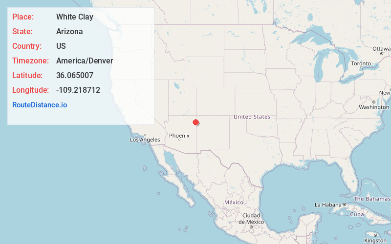
Full AddressWhite Clay, AZ 86504
-
Coordinates36.0650068, -109.2187115
-
LocationWhite Clay , Arizona , US
-
TimezoneAmerica/Denver
-
Current Local Time12:25:56 PM America/DenverTuesday, July 1, 2025
-
Page Views0
Nearby Places
Found 10 places within 50 miles

Navajo Nation
1.7 mi
2.7 km
Navajo Nation, New Mexico
Get directions

Lower Wheatfields
10.7 mi
17.2 km
Lower Wheatfields, AZ 86556
Get directions

Sawmill
11.6 mi
18.7 km
Sawmill, AZ 86504
Get directions

Wheatfields
13.0 mi
20.9 km
Wheatfields, AZ 86507
Get directions
Upper Wheatfields
13.4 mi
21.6 km
Upper Wheatfields, AZ 86556
Get directions
Crystal
14.2 mi
22.9 km
Crystal, NM 87328
Get directions
Del Muerto
15.0 mi
24.1 km
Del Muerto, AZ 86503
Get directions
Sehili
15.0 mi
24.1 km
Sehili, AZ
Get directions

Tsaile
16.7 mi
26.9 km
Tsaile, AZ
Get directions

Nazlini
17.4 mi
28.0 km
Nazlini, AZ 86540
Get directions
Location Links
Local Weather
Weather Information
Coming soon!
Location Map
Static map view of White Clay, Arizona
Browse Places by Distance
Places within specific distances from White Clay
Short Distances
Long Distances
Click any distance to see all places within that range from White Clay. Distances shown in miles (1 mile ≈ 1.61 kilometers).