Distance to White Level, North Carolina

Calculating Your Route
Just a moment while we process your request...
Location Information
-
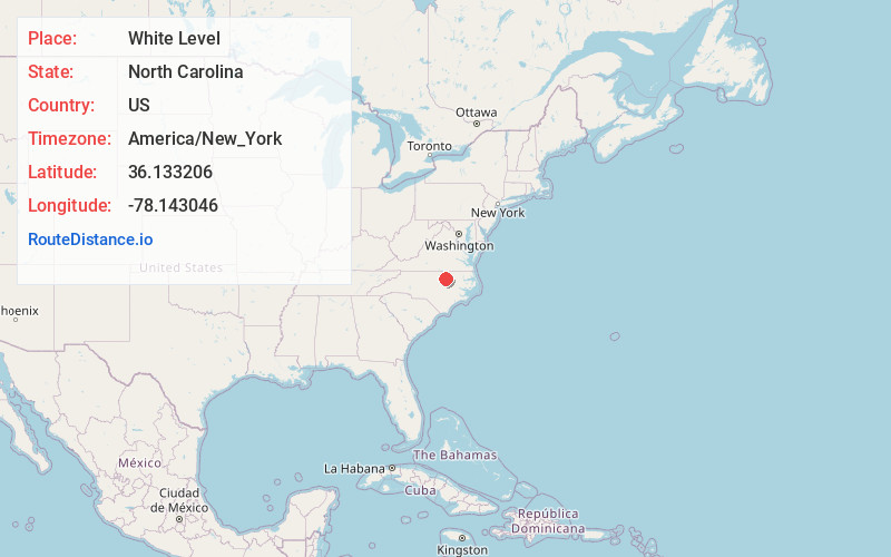
Full AddressWhite Level, NC 27549
-
Coordinates36.1332064, -78.1430464
-
LocationWhite Level , North Carolina , US
-
TimezoneAmerica/New_York
-
Current Local Time5:26:33 AM America/New_YorkWednesday, June 18, 2025
-
Page Views0
About White Level
White Level is an unincorporated community in eastern Franklin County, North Carolina, United States.
It is located at the intersection of White Level Road and Wood Road, east-northeast of Louisburg, at an elevation of 325 feet.
Nearby Places
Found 10 places within 50 miles

Stallings Crossroads
3.0 mi
4.8 km
Stallings Crossroads, NC 27549
Get directions
Oswego
3.2 mi
5.1 km
Oswego, NC 27549
Get directions
Hickory Rock
3.8 mi
6.1 km
Hickory Rock, NC 27549
Get directions
Centerville
4.2 mi
6.8 km
Centerville, NC 27549
Get directions
Gold Sand
4.4 mi
7.1 km
Gold Sand, NC 27549
Get directions
Gupton
4.5 mi
7.2 km
Gupton, NC 27549
Get directions
Wood
5.9 mi
9.5 km
Wood, NC 27549
Get directions
Lancaster Crossroads
5.9 mi
9.5 km
Lancaster Crossroads, NC 27816
Get directions
Castalia
6.0 mi
9.7 km
Castalia, NC 27816
Get directions
Mapleville
6.1 mi
9.8 km
Mapleville, NC 27549
Get directions
Location Links
Local Weather
Weather Information
Coming soon!
Location Map
Static map view of White Level, North Carolina
Browse Places by Distance
Places within specific distances from White Level
Short Distances
Long Distances
Click any distance to see all places within that range from White Level. Distances shown in miles (1 mile ≈ 1.61 kilometers).