Distance to White Owl, South Dakota

Calculating Your Route
Just a moment while we process your request...
Location Information
-
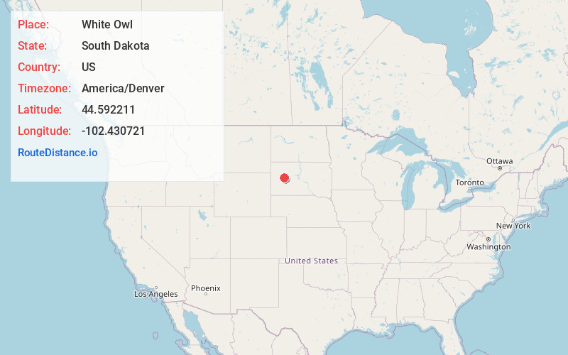
Full AddressWhite Owl, SD 57792
-
Coordinates44.592211, -102.430721
-
LocationWhite Owl , South Dakota , US
-
TimezoneAmerica/Denver
-
Current Local Time12:41:34 PM America/DenverWednesday, May 28, 2025
-
Page Views0
About White Owl
White Owl is an unincorporated rural village in east central Meade County, South Dakota, United States, with a population of 61 as of the 2010 census.
Nearby Places
Found 10 places within 50 miles

Enning
6.6 mi
10.6 km
Enning, SD
Get directions
Marcus
9.0 mi
14.5 km
Marcus, SD 57748
Get directions
Boneita Springs Dam
11.1 mi
17.9 km
Boneita Springs Dam, Enning, SD 57737
Get directions

Union Center
11.9 mi
19.2 km
Union Center, SD 57737
Get directions

Stoneville
14.7 mi
23.7 km
Stoneville, SD 57787
Get directions
Howes
18.7 mi
30.1 km
Howes, SD 57748
Get directions
Pedro
19.4 mi
31.2 km
Pedro, SD 57790
Get directions
Elm Springs
19.9 mi
32.0 km
Elm Springs, SD 57791
Get directions
Creighton
25.8 mi
41.5 km
Creighton, SD 57790
Get directions

Bridger
25.8 mi
41.5 km
Bridger, SD 57553
Get directions
Location Links
Local Weather
Weather Information
Coming soon!
Location Map
Static map view of White Owl, South Dakota
Browse Places by Distance
Places within specific distances from White Owl
Short Distances
Long Distances
Click any distance to see all places within that range from White Owl. Distances shown in miles (1 mile ≈ 1.61 kilometers).