Distance to Whitecloud, Missouri

Calculating Your Route
Just a moment while we process your request...
Location Information
-
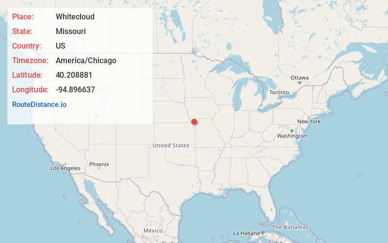
Full AddressWhitecloud, MO 64423
-
Coordinates40.2088806, -94.8966374
-
LocationWhitecloud , Missouri , US
-
TimezoneAmerica/Chicago
-
Current Local Time5:12:00 AM America/ChicagoSunday, June 1, 2025
-
Page Views0
Nearby Places
Found 10 places within 50 miles

Pumpkin Center
1.6 mi
2.6 km
Pumpkin Center, White Cloud Township, MO 64423
Get directions
Barnard
4.5 mi
7.2 km
Barnard, MO 64423
Get directions
Arkoe
5.0 mi
8.0 km
Arkoe, MO
Get directions
White Cloud Creek
5.1 mi
8.2 km
White Cloud Creek, Missouri
Get directions

Nodaway County
7.3 mi
11.7 km
Nodaway County, MO
Get directions
Graham
7.4 mi
11.9 km
Graham, MO 64455
Get directions
Bolckow
7.7 mi
12.4 km
Bolckow, MO 64427
Get directions
Bedison
8.7 mi
14.0 km
Bedison, Polk Township, MO 64434
Get directions
Guilford
8.9 mi
14.3 km
Guilford, MO 64457
Get directions

Maitland
9.4 mi
15.1 km
Maitland, MO 64466
Get directions
Location Links
Local Weather
Weather Information
Coming soon!
Location Map
Static map view of Whitecloud, Missouri
Browse Places by Distance
Places within specific distances from Whitecloud
Short Distances
Long Distances
Click any distance to see all places within that range from Whitecloud. Distances shown in miles (1 mile ≈ 1.61 kilometers).