Distance to Whitesville, West Virginia

Calculating Your Route
Just a moment while we process your request...
Location Information
-
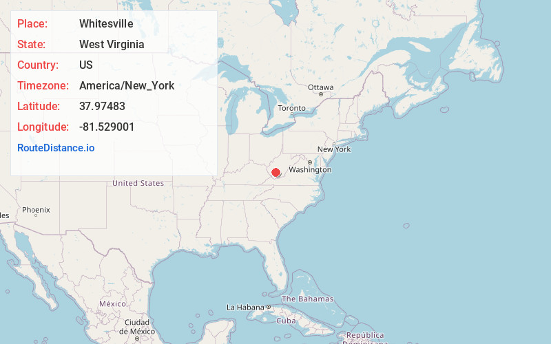
Full AddressWhitesville, WV
-
Coordinates37.9748295, -81.5290005
-
LocationWhitesville , West Virginia , US
-
TimezoneAmerica/New_York
-
Current Local Time1:47:43 PM America/New_YorkTuesday, July 1, 2025
-
Page Views0
About Whitesville
Whitesville is a town and former coal town in Boone County, West Virginia, United States, along the Big Coal River. The population was 361 at the 2020 census. Whitesville was incorporated on August 15, 1935, by the Boone County Circuit Court. The town derives its name from B. W. White, a pioneer settler.


Nearby Places
Found 10 places within 50 miles

Dorothy
4.5 mi
7.2 km
Dorothy, WV
Get directions
Eskdale
9.3 mi
15.0 km
Eskdale, WV 25075
Get directions
Racine
13.6 mi
21.9 km
Racine, WV
Get directions
Powellton
14.1 mi
22.7 km
Powellton, WV
Get directions
Kincaid
14.8 mi
23.8 km
Kincaid, WV 25119
Get directions

Chelyan
15.4 mi
24.8 km
Chelyan, WV
Get directions
Greenview
15.8 mi
25.4 km
Greenview, WV
Get directions
Kopperston
15.8 mi
25.4 km
Kopperston, WV 24827
Get directions
Bolt
16.0 mi
25.7 km
Bolt, WV
Get directions
Shrewsbury
16.3 mi
26.2 km
Shrewsbury, WV 25015
Get directions
Location Links
Local Weather
Weather Information
Coming soon!
Location Map
Static map view of Whitesville, West Virginia
Browse Places by Distance
Places within specific distances from Whitesville
Short Distances
Long Distances
Click any distance to see all places within that range from Whitesville. Distances shown in miles (1 mile ≈ 1.61 kilometers).