Distance to Whitetown, Arkansas

Calculating Your Route
Just a moment while we process your request...
Location Information
-
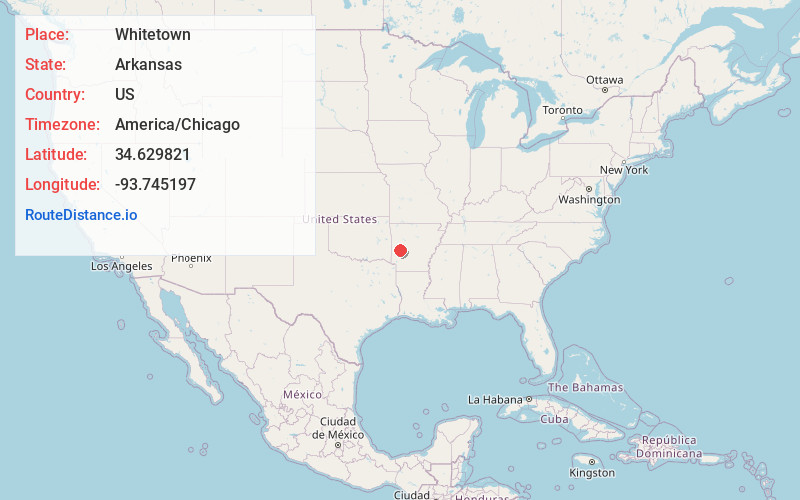
Full AddressWhitetown, AR 71961
-
Coordinates34.6298208, -93.7451965
-
LocationWhitetown , Arkansas , US
-
TimezoneAmerica/Chicago
-
Current Local Time5:31:40 PM America/ChicagoWednesday, July 2, 2025
-
Page Views0
Nearby Places
Found 10 places within 50 miles

Pencil Bluff
0.6 mi
1.0 km
Pencil Bluff, AR
Get directions

Oden
2.0 mi
3.2 km
Oden, AR 71961
Get directions

Sims
3.7 mi
6.0 km
Sims, AR 71969
Get directions
Gaston
5.8 mi
9.3 km
Gaston, AR 71957
Get directions

Mt Ida
8.1 mi
13.0 km
Mt Ida, AR 71957
Get directions
Pine Ridge
9.9 mi
15.9 km
Pine Ridge, AR 71961
Get directions
Black Springs
11.8 mi
19.0 km
Black Springs, AR 71960
Get directions

Norman
12.7 mi
20.4 km
Norman, AR 71960
Get directions

Story
13.7 mi
22.0 km
Story, AR 71970
Get directions
Chula
14.7 mi
23.7 km
Chula, AR 72857
Get directions
Location Links
Local Weather
Weather Information
Coming soon!
Location Map
Static map view of Whitetown, Arkansas
Browse Places by Distance
Places within specific distances from Whitetown
Short Distances
Long Distances
Click any distance to see all places within that range from Whitetown. Distances shown in miles (1 mile ≈ 1.61 kilometers).