Distance to Wild Crossing, California

Calculating Your Route
Just a moment while we process your request...
Location Information
-
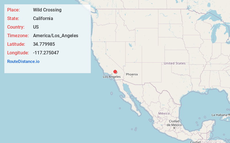
Full AddressWild Crossing, CA 92342
-
Coordinates34.7799854, -117.2750465
-
LocationWild Crossing , California , US
-
TimezoneAmerica/Los_Angeles
-
Current Local Time3:59:11 PM America/Los_AngelesTuesday, June 17, 2025
-
Page Views0
Nearby Places
Found 10 places within 50 miles

Helendale
4.8 mi
7.7 km
Helendale, CA 92342
Get directions

Hodge
5.3 mi
8.5 km
Hodge, CA 92311
Get directions
Johnstons Corner
6.4 mi
10.3 km
Johnstons Corner, CA 92311
Get directions
La Delta
10.3 mi
16.6 km
La Delta, CA 92368
Get directions

Hinkley
11.5 mi
18.5 km
Hinkley, CA 92347
Get directions

Lenwood
11.6 mi
18.7 km
Lenwood, CA 92311
Get directions

Bell Mountain
12.1 mi
19.5 km
Bell Mountain, CA 92307
Get directions

Barstow Heights
13.9 mi
22.4 km
Barstow Heights, CA 92311
Get directions
Hutt
14.4 mi
23.2 km
Hutt, CA 92311
Get directions
Kramer Hills
14.6 mi
23.5 km
Kramer Hills, CA
Get directions
Location Links
Local Weather
Weather Information
Coming soon!
Location Map
Static map view of Wild Crossing, California
Browse Places by Distance
Places within specific distances from Wild Crossing
Short Distances
Long Distances
Click any distance to see all places within that range from Wild Crossing. Distances shown in miles (1 mile ≈ 1.61 kilometers).