Distance to Hinkley, California

Calculating Your Route
Just a moment while we process your request...
Location Information
-
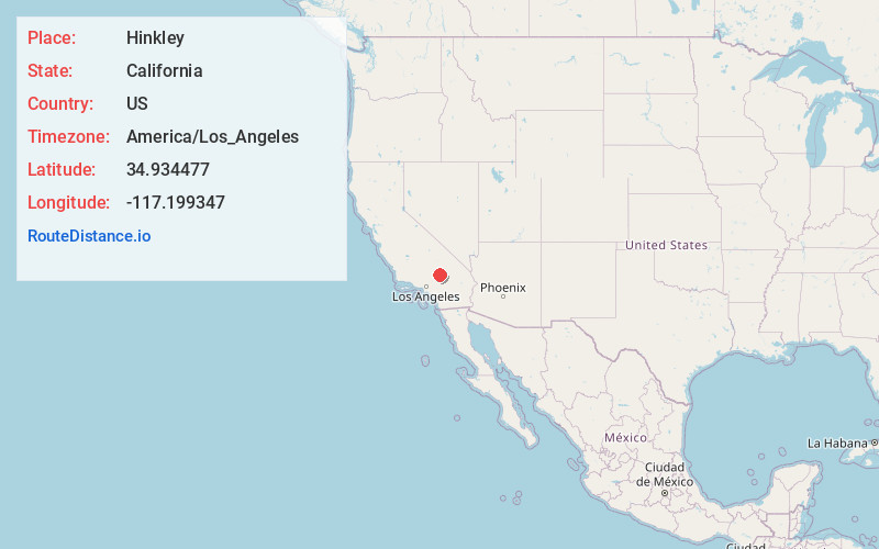
Full AddressHinkley, CA 92347
-
Coordinates34.9344769, -117.1993469
-
LocationHinkley , California , US
-
TimezoneAmerica/Los_Angeles
-
Current Local Time7:05:50 AM America/Los_AngelesSaturday, June 28, 2025
-
Page Views0
About Hinkley
Hinkley is an unincorporated community in the Mojave Desert, in San Bernardino County, California, United States, 14 miles northwest of Barstow, 59 miles east of Mojave, 47 miles north of Victorville and about a 120 mile drive northeast of Los Angeles, just north of California State Route 58.


Nearby Places
Found 10 places within 50 miles

Lenwood
6.5 mi
10.5 km
Lenwood, CA 92311
Get directions

Hutt
7.3 mi
11.7 km
Hutt, CA 92311
Get directions

Barstow
10.7 mi
17.2 km
Barstow, CA
Get directions

Helendale
15.4 mi
24.8 km
Helendale, CA 92342
Get directions

Daggett
18.3 mi
29.5 km
Daggett, CA 92327
Get directions

Yermo
21.4 mi
34.4 km
Yermo, CA
Get directions
La Delta
21.8 mi
35.1 km
La Delta, CA 92368
Get directions

Bell Mountain
22.2 mi
35.7 km
Bell Mountain, CA 92307
Get directions

Boron
25.9 mi
41.7 km
Boron, CA 93516
Get directions

Adelanto
27.1 mi
43.6 km
Adelanto, CA
Get directions
Location Links
Local Weather
Weather Information
Coming soon!
Location Map
Static map view of Hinkley, California
Browse Places by Distance
Places within specific distances from Hinkley
Short Distances
Long Distances
Click any distance to see all places within that range from Hinkley. Distances shown in miles (1 mile ≈ 1.61 kilometers).