Distance to Wiley, Georgia

Calculating Your Route
Just a moment while we process your request...
Location Information
-
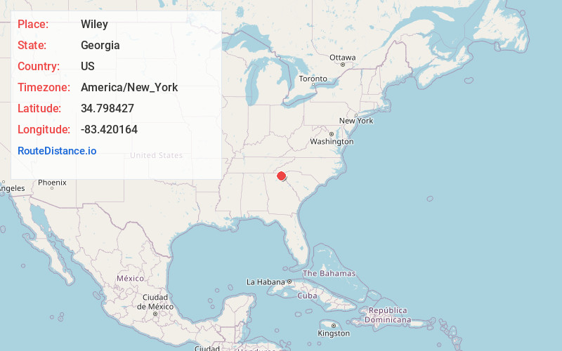
Full AddressWiley, GA 30552
-
Coordinates34.7984266, -83.4201639
-
LocationWiley , Georgia , US
-
TimezoneAmerica/New_York
-
Current Local Time9:42:48 AM America/New_YorkTuesday, June 24, 2025
-
Page Views0
About Wiley
Wiley is an unincorporated community in Rabun County, Georgia, United States. The community is located along U.S. Route 23/441, 5.6 miles south of Clayton. Wiley has a post office with ZIP code 30581.

Nearby Places
Found 10 places within 50 miles

Tiger
3.4 mi
5.5 km
Tiger, GA 30576
Get directions

Tallulah Falls
4.5 mi
7.2 km
Tallulah Falls, GA
Get directions

Clayton
5.6 mi
9.0 km
Clayton, GA 30525
Get directions

Mountain City
8.5 mi
13.7 km
Mountain City, GA
Get directions

Long Creek
9.3 mi
15.0 km
Long Creek, SC 29658
Get directions

Hollywood
10.4 mi
16.7 km
Hollywood, GA 30523
Get directions
Straw Mountain
11.5 mi
18.5 km
Straw Mountain, Georgia 30525
Get directions

Dillard
12.0 mi
19.3 km
Dillard, GA 30537
Get directions
Whetstone
13.3 mi
21.4 km
Whetstone, SC 29664
Get directions

Sky Valley
14.0 mi
22.5 km
Sky Valley, GA 30537
Get directions
Location Links
Local Weather
Weather Information
Coming soon!
Location Map
Static map view of Wiley, Georgia
Browse Places by Distance
Places within specific distances from Wiley
Short Distances
Long Distances
Click any distance to see all places within that range from Wiley. Distances shown in miles (1 mile ≈ 1.61 kilometers).