Distance to Tallulah Falls, Georgia

Calculating Your Route
Just a moment while we process your request...
Location Information
-
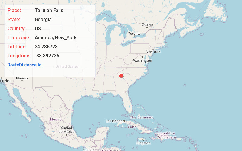
Full AddressTallulah Falls, GA
-
Coordinates34.736723, -83.3927364
-
LocationTallulah Falls , Georgia , US
-
TimezoneAmerica/New_York
-
Current Local Time7:35:07 PM America/New_YorkThursday, June 5, 2025
-
Page Views0
About Tallulah Falls
Tallulah Falls is a Victorian-era resort town in Georgia and the gateway to Tallulah Gorge State Park. Trails in the park skirt the rim of Tallulah Gorge or descend to its floor, where the Tallulah River flows. Waterfalls, including the dramatic Hurricane Falls, cascade into the river, which is spanned by a suspension bridge. Jane Hurt Yarn Interpretive Center has exhibits exploring the area’s history and wildlife.


Nearby Places
Found 10 places within 50 miles

Tiger
8.0 mi
12.9 km
Tiger, GA 30576
Get directions

Clayton
9.8 mi
15.8 km
Clayton, GA 30525
Get directions

Clarkesville
11.4 mi
18.3 km
Clarkesville, GA 30523
Get directions

Toccoa
11.5 mi
18.5 km
Toccoa, GA
Get directions

Mountain City
12.5 mi
20.1 km
Mountain City, GA
Get directions

Demorest
14.7 mi
23.7 km
Demorest, GA 30535
Get directions

Dillard
16.1 mi
25.9 km
Dillard, GA 30537
Get directions

Mt Airy
16.3 mi
26.2 km
Mt Airy, GA
Get directions

Sautee Nacoochee
16.4 mi
26.4 km
Sautee Nacoochee, GA 30571
Get directions

Cornelia
17.3 mi
27.8 km
Cornelia, GA
Get directions
Location Links
Local Weather
Weather Information
Coming soon!
Location Map
Static map view of Tallulah Falls, Georgia
Browse Places by Distance
Places within specific distances from Tallulah Falls
Short Distances
Long Distances
Click any distance to see all places within that range from Tallulah Falls. Distances shown in miles (1 mile ≈ 1.61 kilometers).