Distance to Sautee Nacoochee, Georgia

Calculating Your Route
Just a moment while we process your request...
Location Information
-
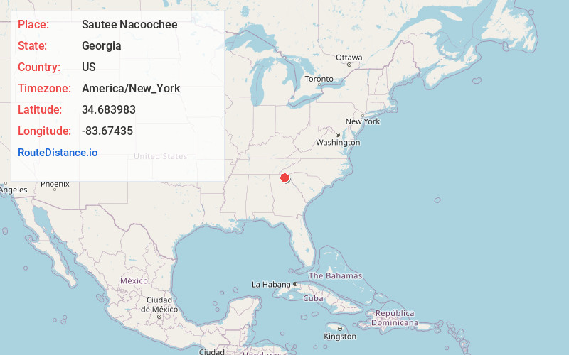
Full AddressSautee Nacoochee, GA 30571
-
Coordinates34.6839825, -83.67435
-
LocationSautee Nacoochee , Georgia , US
-
TimezoneAmerica/New_York
-
Current Local Time1:06:17 PM America/New_YorkThursday, June 19, 2025
-
Page Views0
About Sautee Nacoochee
Sautee Nacoochee is an unincorporated community and census-designated place in White County, Georgia, United States, near Sautee Creek in the Appalachian foothills of northeast Georgia, approximately 95 miles north of Atlanta. The nearest incorporated town is the tourist destination of Helen.


Nearby Places
Found 10 places within 50 miles

Helen
3.5 mi
5.6 km
Helen, GA 30545
Get directions

Yonah
5.4 mi
8.7 km
Yonah, GA 30528
Get directions

Cleveland
7.9 mi
12.7 km
Cleveland, GA 30528
Get directions

Clarkesville
9.8 mi
15.8 km
Clarkesville, GA 30523
Get directions

Demorest
11.0 mi
17.7 km
Demorest, GA 30535
Get directions

Cornelia
14.6 mi
23.5 km
Cornelia, GA
Get directions

Mt Airy
15.1 mi
24.3 km
Mt Airy, GA
Get directions

Clermont
15.3 mi
24.6 km
Clermont, GA 30527
Get directions

Baldwin
15.4 mi
24.8 km
Baldwin, GA
Get directions

Alto
16.0 mi
25.7 km
Alto, GA 30510
Get directions
Location Links
Local Weather
Weather Information
Coming soon!
Location Map
Static map view of Sautee Nacoochee, Georgia
Browse Places by Distance
Places within specific distances from Sautee Nacoochee
Short Distances
Long Distances
Click any distance to see all places within that range from Sautee Nacoochee. Distances shown in miles (1 mile ≈ 1.61 kilometers).