Distance to Long Creek, South Carolina

Calculating Your Route
Just a moment while we process your request...
Location Information
-
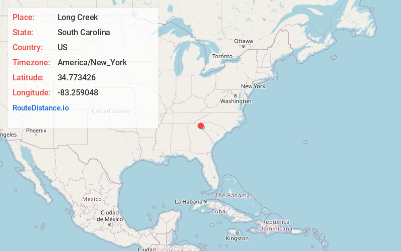
Full AddressLong Creek, SC 29658
-
Coordinates34.7734262, -83.2590482
-
LocationLong Creek , South Carolina , US
-
TimezoneAmerica/New_York
-
Current Local Time10:26:33 AM America/New_YorkSaturday, June 21, 2025
-
Page Views0
About Long Creek
Longcreek is an unincorporated community and census-designated place in western Oconee County, South Carolina, United States. It was first listed as a CDP in the 2020 census with a population of 96.


Nearby Places
Found 10 places within 50 miles

Tallulah Falls
8.0 mi
12.9 km
Tallulah Falls, GA
Get directions

Clayton
10.8 mi
17.4 km
Clayton, GA 30525
Get directions

Walhalla
11.1 mi
17.9 km
Walhalla, SC
Get directions

Tiger
11.1 mi
17.9 km
Tiger, GA 30576
Get directions

Westminster
11.9 mi
19.2 km
Westminster, SC 29693
Get directions

Mountain City
12.3 mi
19.8 km
Mountain City, GA
Get directions

West Union
12.3 mi
19.8 km
West Union, SC
Get directions

Toccoa
14.2 mi
22.9 km
Toccoa, GA
Get directions

Sky Valley
15.1 mi
24.3 km
Sky Valley, GA 30537
Get directions

Dillard
15.4 mi
24.8 km
Dillard, GA 30537
Get directions
Location Links
Local Weather
Weather Information
Coming soon!
Location Map
Static map view of Long Creek, South Carolina
Browse Places by Distance
Places within specific distances from Long Creek
Short Distances
Long Distances
Click any distance to see all places within that range from Long Creek. Distances shown in miles (1 mile ≈ 1.61 kilometers).