Distance to Willis, Oklahoma

Calculating Your Route
Just a moment while we process your request...
Location Information
-
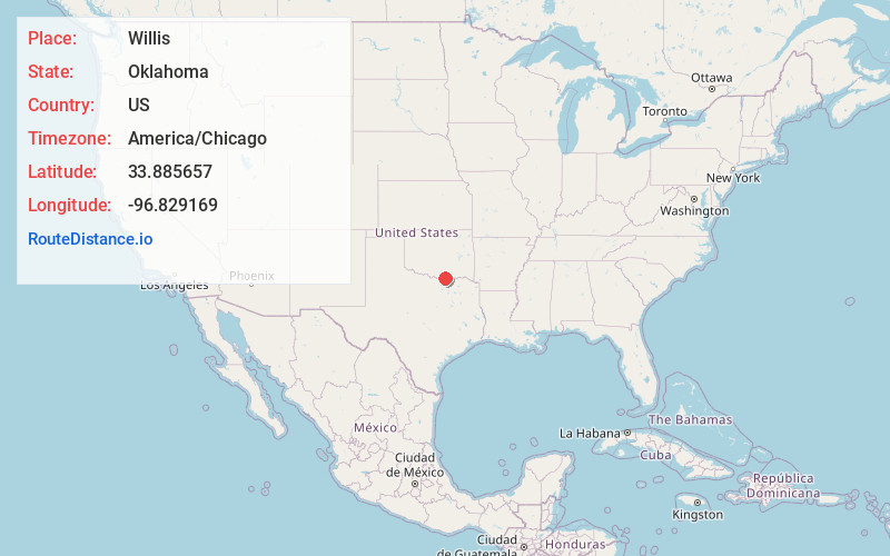
Full AddressWillis, OK 73439
-
Coordinates33.8856574, -96.8291691
-
LocationWillis , Oklahoma , US
-
TimezoneAmerica/Chicago
-
Current Local Time11:51:39 AM America/ChicagoSunday, June 1, 2025
-
Page Views0
About Willis
Willis is an unincorporated community in Marshall County, Oklahoma, United States. Willis is located in the far southern portion of the county near Lake Texoma and is 14.5 miles south-southwest of Madill. U.S. Route 377 passes near the community to the west.
Nearby Places
Found 10 places within 50 miles

Sherwood Shores
2.1 mi
3.4 km
Sherwood Shores, TX 76245
Get directions

Cedar Mills
4.0 mi
6.4 km
Cedar Mills, TX 76245
Get directions
Shay
4.5 mi
7.2 km
Shay, OK 73439
Get directions
Powell
5.2 mi
8.4 km
Powell, OK 73439
Get directions

Lebanon
8.1 mi
13.0 km
Lebanon, OK
Get directions
Dexter
9.0 mi
14.5 km
Dexter, TX 76273
Get directions
Sandusky
9.0 mi
14.5 km
Sandusky, TX 76273
Get directions

Kingston
10.0 mi
16.1 km
Kingston, OK 73439
Get directions

Preston
11.2 mi
18.0 km
Preston, TX 75076
Get directions
New Woodville
11.6 mi
18.7 km
New Woodville, OK 73439
Get directions
Location Links
Local Weather
Weather Information
Coming soon!
Location Map
Static map view of Willis, Oklahoma
Browse Places by Distance
Places within specific distances from Willis
Short Distances
Long Distances
Click any distance to see all places within that range from Willis. Distances shown in miles (1 mile ≈ 1.61 kilometers).