Distance to Wing, Utah
Location Information
-
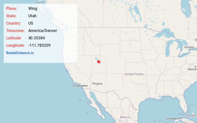
Full AddressWing, UT 84003
-
Coordinates40.3538402, -111.7852085
-
NeighborhoodWing
-
LocationWing , Utah , US
-
TimezoneAmerica/Denver
-
Current Local Time3:08:24 AM America/DenverSaturday, May 17, 2025
-
Page Views0
Nearby Places
Found 10 places within 50 miles

American Fork
1.7 mi
2.7 km
American Fork, UT 84003
Get directions

Pleasant Grove
2.6 mi
4.2 km
Pleasant Grove, UT
Get directions

Lindon
3.5 mi
5.6 km
Lindon, UT
Get directions

Vineyard
3.8 mi
6.1 km
Vineyard, UT
Get directions

Lehi
4.3 mi
6.9 km
Lehi, UT
Get directions

Cedar Hills
4.4 mi
7.1 km
Cedar Hills, UT 84062
Get directions

Highland
5.0 mi
8.0 km
Highland, UT
Get directions

Orem
6.2 mi
10.0 km
Orem, UT
Get directions

Saratoga Springs
6.5 mi
10.5 km
Saratoga Springs, UT
Get directions

Alpine
6.9 mi
11.1 km
Alpine, UT 84004
Get directions
Location Links
Local Weather
Weather Information
Coming soon!
Location Map
Static map view of Wing, Utah
Browse Places by Distance
Places within specific distances from Wing
Short Distances
Long Distances
Click any distance to see all places within that range from Wing. Distances shown in miles (1 mile ≈ 1.61 kilometers).