Distance to Winona, Arizona

Calculating Your Route
Just a moment while we process your request...
Location Information
-
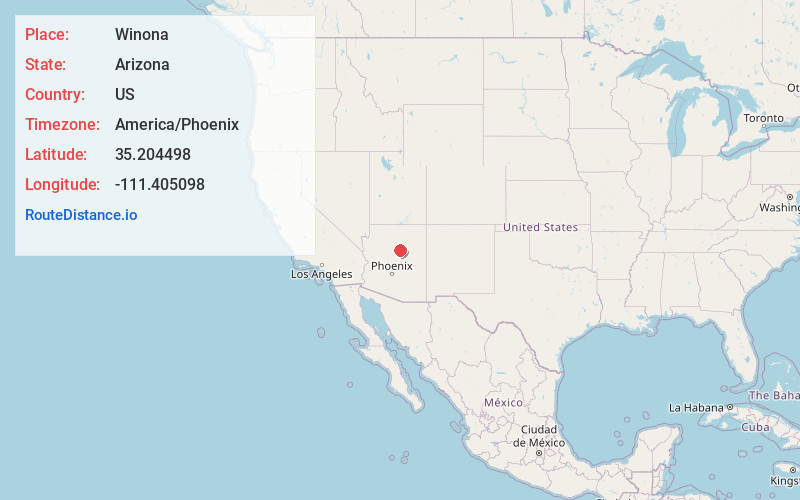
Full AddressWinona, AZ 86004
-
Coordinates35.204498, -111.405098
-
LocationWinona , Arizona , US
-
TimezoneAmerica/Phoenix
-
Current Local Time8:12:41 AM America/PhoenixSunday, June 29, 2025
-
Page Views0
About Winona
Winona is a small populated place in Coconino County in the northern part of the U.S. state of Arizona. At one time it was also called Walnut, and Winona's railroad station was renamed Darling in honor of an engineer.


Nearby Places
Found 10 places within 50 miles

Cosnino
4.0 mi
6.4 km
Cosnino, AZ 86004
Get directions
Angell
5.7 mi
9.2 km
Angell, AZ 86004
Get directions

Doney Park
7.6 mi
12.2 km
Doney Park, AZ 86004
Get directions
Elden Pueblo
9.6 mi
15.4 km
Elden Pueblo, Doney Park, AZ 86004
Get directions
Cogdill Center
13.6 mi
21.9 km
Cogdill Center, Flagstaff, AZ 86001
Get directions

Flagstaff
13.9 mi
22.4 km
Flagstaff, AZ
Get directions
Rockledge Tank
16.8 mi
27.0 km
Rockledge Tank, Arizona 86038
Get directions
Mountainaire
16.9 mi
27.2 km
Mountainaire, AZ
Get directions
Fort Tuthill
16.9 mi
27.2 km
Fort Tuthill, AZ 86004
Get directions
Pilgrim Playground
17.3 mi
27.8 km
Pilgrim Playground, AZ 86001
Get directions
Location Links
Local Weather
Weather Information
Coming soon!
Location Map
Static map view of Winona, Arizona
Browse Places by Distance
Places within specific distances from Winona
Short Distances
Long Distances
Click any distance to see all places within that range from Winona. Distances shown in miles (1 mile ≈ 1.61 kilometers).