Distance to Winterham, Virginia

Calculating Your Route
Just a moment while we process your request...
Location Information
-
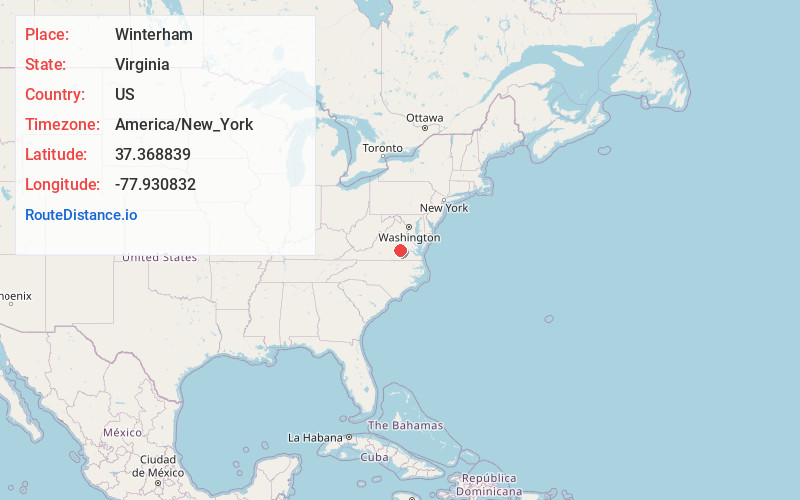
Full AddressWinterham, VA 23002
-
Coordinates37.368839, -77.930832
-
LocationWinterham , Virginia , US
-
TimezoneAmerica/New_York
-
Current Local Time12:06:13 PM America/New_YorkFriday, June 20, 2025
-
Page Views0
About Winterham
Winterham is a mostly rural unincorporated community in central Amelia County in the U.S. state of Virginia, lying along US 360 at the northern terminus of SR 628. Its elevation is 338 feet above sea level.
Nearby Places
Found 10 places within 50 miles

Mattoax
5.1 mi
8.2 km
Mattoax, VA 23002
Get directions
Haw Branch
5.7 mi
9.2 km
Haw Branch, VA 23002
Get directions
Macon
10.7 mi
17.2 km
Macon, VA 23139
Get directions

Powhatan
12.0 mi
19.3 km
Powhatan, VA 23139
Get directions
Flat Rock
12.2 mi
19.6 km
Flat Rock, VA 23139
Get directions
Rodophil
12.3 mi
19.8 km
Rodophil, VA 23083
Get directions

Woodlake
14.2 mi
22.9 km
Woodlake, VA
Get directions
Wilsons
16.3 mi
26.2 km
Wilsons, VA 23894
Get directions
Hebron
17.0 mi
27.4 km
Hebron, VA 23850
Get directions

Crewe
17.2 mi
27.7 km
Crewe, VA 23930
Get directions
Location Links
Local Weather
Weather Information
Coming soon!
Location Map
Static map view of Winterham, Virginia
Browse Places by Distance
Places within specific distances from Winterham
Short Distances
Long Distances
Click any distance to see all places within that range from Winterham. Distances shown in miles (1 mile ≈ 1.61 kilometers).