Distance to Witch Hazel, Oregon

Calculating Your Route
Just a moment while we process your request...
Location Information
-
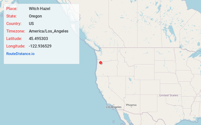
Full AddressWitch Hazel, Hillsboro, OR 97123
-
Coordinates45.4953034, -122.9365285
-
NeighborhoodWitch Hazel
-
LocationHillsboro , Oregon , US
-
TimezoneAmerica/Los_Angeles
-
Current Local Time11:28:52 PM America/Los_AngelesSaturday, May 31, 2025
-
Page Views0
About Witch Hazel
Witch Hazel is a neighborhood of the city of Hillsboro in Washington County, Oregon, United States. Formerly an unincorporated community, and considered a separate populated place by the United States ...
Nearby Places
Found 10 places within 50 miles

Hazeldale
2.9 mi
4.7 km
Hazeldale, OR 97007
Get directions

Hillsboro
3.1 mi
5.0 km
Hillsboro, OR
Get directions
Farmington
3.2 mi
5.1 km
Farmington, OR 97007
Get directions

Aloha
3.4 mi
5.5 km
Aloha, OR
Get directions
Blooming
5.5 mi
8.9 km
Blooming, OR 97123
Get directions

Kinton
5.8 mi
9.3 km
Kinton, OR 97007
Get directions
West Union
5.8 mi
9.3 km
West Union, OR 97124
Get directions
Midway
5.9 mi
9.5 km
Midway, OR 97123
Get directions

Laurel
5.9 mi
9.5 km
Laurel, OR 97123
Get directions
Scholls
6.1 mi
9.8 km
Scholls, OR 97123
Get directions
Location Links
Local Weather
Weather Information
Coming soon!
Location Map
Static map view of Witch Hazel, Oregon
Browse Places by Distance
Places within specific distances from Witch Hazel
Short Distances
Long Distances
Click any distance to see all places within that range from Witch Hazel. Distances shown in miles (1 mile ≈ 1.61 kilometers).