Distance to Yale, Kansas

Calculating Your Route
Just a moment while we process your request...
Location Information
-
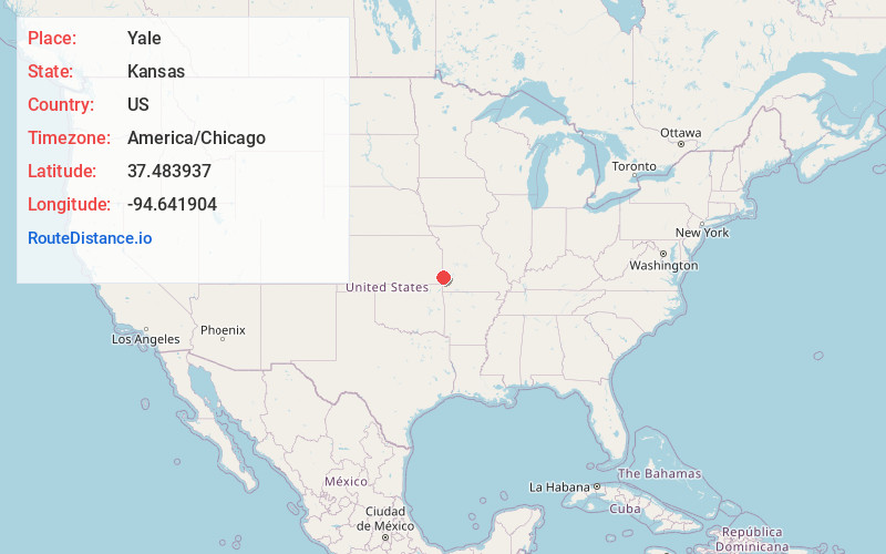
Full AddressYale, KS
-
Coordinates37.4839373, -94.6419037
-
LocationYale , Kansas , US
-
TimezoneAmerica/Chicago
-
Current Local Time4:33:52 PM America/ChicagoThursday, May 22, 2025
-
Page Views0
About Yale
Yale is a census-designated place in Crawford County, Kansas, United States. As of the 2020 census, the population was 81. It is located northeast of Frontenac at the intersection of E 600th Ave and S 250th St, approximately one mile west of the Missouri state border.
Nearby Places
Found 10 places within 50 miles

Mindenmines
3.0 mi
4.8 km
Mindenmines, MO 64769
Get directions

Frontenac
3.2 mi
5.1 km
Frontenac, KS
Get directions

Franklin
4.4 mi
7.1 km
Franklin, KS
Get directions

Mulberry
5.2 mi
8.4 km
Mulberry, KS 66756
Get directions
Croweburg
5.2 mi
8.4 km
Croweburg, KS 66756
Get directions

Arma
5.2 mi
8.4 km
Arma, KS 66712
Get directions

Pittsburg
6.1 mi
9.8 km
Pittsburg, KS 66762
Get directions

Radley
6.5 mi
10.5 km
Radley, KS
Get directions

Liberal
8.4 mi
13.5 km
Liberal, MO 64762
Get directions

Girard
10.9 mi
17.5 km
Girard, KS 66743
Get directions
Location Links
Local Weather
Weather Information
Coming soon!
Location Map
Static map view of Yale, Kansas
Browse Places by Distance
Places within specific distances from Yale
Short Distances
Long Distances
Click any distance to see all places within that range from Yale. Distances shown in miles (1 mile ≈ 1.61 kilometers).