Distance to Zephyr, North Carolina

Calculating Your Route
Just a moment while we process your request...
Location Information
-
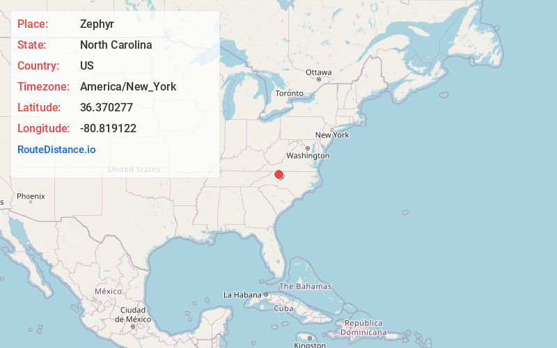
Full AddressZephyr, NC 28676
-
Coordinates36.370277, -80.8191219
-
LocationZephyr , North Carolina , US
-
TimezoneAmerica/New_York
-
Current Local Time5:17:35 AM America/New_YorkWednesday, June 18, 2025
-
Page Views0
About Zephyr
Zephyr in an unincorporated community in western Surry County, North Carolina, United States. The community is centered on the intersection of Zephyr-Mountain Park Road and Poplar Springs Road/Zephyr Road and lies between the Mitchell River and Little Creek.
Nearby Places
Found 10 places within 50 miles

Mountain Park
2.0 mi
3.2 km
Mountain Park, NC 28676
Get directions
State Rd
4.1 mi
6.6 km
State Rd, NC 28676
Get directions
Union Hill
4.4 mi
7.1 km
Union Hill, NC 27017
Get directions
Pleasant Ridge
5.2 mi
8.4 km
Pleasant Ridge, NC 28676
Get directions

Dobson
5.7 mi
9.2 km
Dobson, NC
Get directions
North Elkin
6.0 mi
9.7 km
North Elkin, Elkin, NC 28621
Get directions

Devotion
7.0 mi
11.3 km
Devotion, NC 27017
Get directions
Burch
7.0 mi
11.3 km
Burch, NC 28621
Get directions

Beulah
7.7 mi
12.4 km
Beulah, NC 27024
Get directions
Ladonia
7.8 mi
12.6 km
Ladonia, NC 27024
Get directions
Location Links
Local Weather
Weather Information
Coming soon!
Location Map
Static map view of Zephyr, North Carolina
Browse Places by Distance
Places within specific distances from Zephyr
Short Distances
Long Distances
Click any distance to see all places within that range from Zephyr. Distances shown in miles (1 mile ≈ 1.61 kilometers).