Distance to Zzyzx, California

Calculating Your Route
Just a moment while we process your request...
Location Information
-
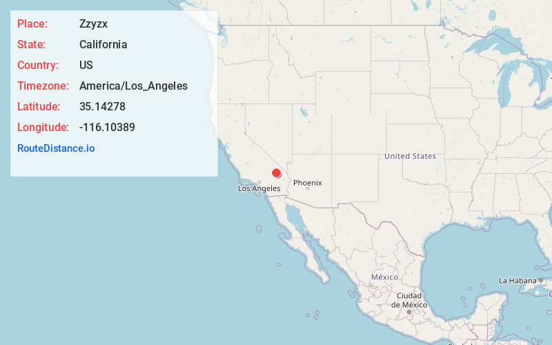
Full AddressZzyzx, CA
-
Coordinates35.14278, -116.10389
-
LocationZzyzx , California , US
-
TimezoneAmerica/Los_Angeles
-
Current Local Time4:44:52 PM America/Los_AngelesTuesday, May 20, 2025
-
Page Views0
About Zzyzx
Zzyzx, formerly Soda Springs, is an unincorporated town in San Bernardino County, California, United States, within the boundaries of the Mojave National Preserve, managed by the National Park Service, an agency of the U.S. Department of Interior, as public land.


Nearby Places
Found 10 places within 50 miles

Beacon Station
6.0 mi
9.7 km
Beacon Station, CA 92309
Get directions

Crucero
7.5 mi
12.1 km
Crucero, CA 92309
Get directions

Balch
8.1 mi
13.0 km
Balch, CA
Get directions

Baker
8.8 mi
14.2 km
Baker, CA
Get directions
Cronese Valley
10.0 mi
16.1 km
Cronese Valley, CA
Get directions
Sands
12.7 mi
20.4 km
Sands, CA
Get directions
Basin
12.8 mi
20.6 km
Basin, CA 92309
Get directions
Glasgow
17.2 mi
27.7 km
Glasgow, CA
Get directions
Afton
17.2 mi
27.7 km
Afton, CA 92309
Get directions

Halloran Springs
19.8 mi
31.9 km
Halloran Springs, CA 92364
Get directions
Location Links
Local Weather
Weather Information
Coming soon!
Location Map
Static map view of Zzyzx, California
Browse Places by Distance
Places within specific distances from Zzyzx
Short Distances
Long Distances
Click any distance to see all places within that range from Zzyzx. Distances shown in miles (1 mile ≈ 1.61 kilometers).