Distance from Haskell, Arkansas to Acorn, Arkansas
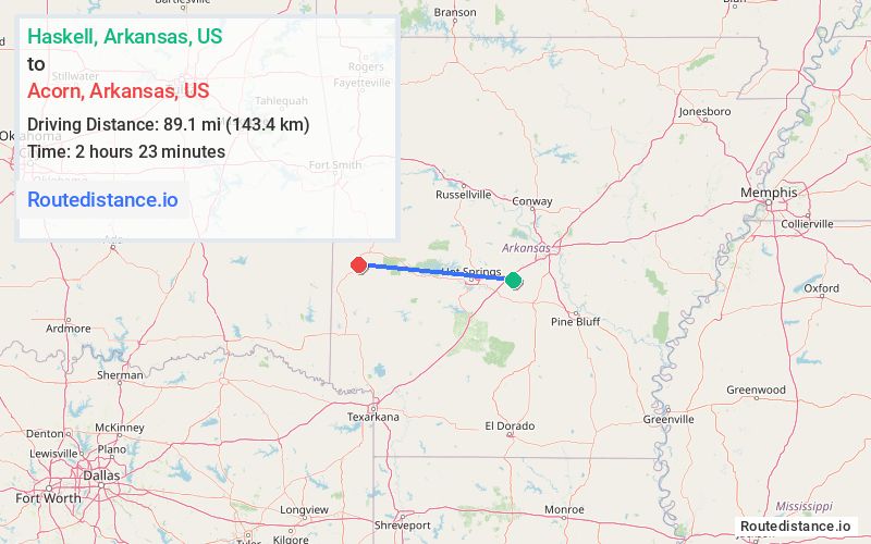
The driving distance from Haskell, Arkansas to Acorn, Arkansas is 114.9 mi (184.9 km)
The straight-line (air) distance is approximately 55.4 mi (89.1 km)
Estimated travel time by road is 2 hours 12 minutes
We found 2 routes between Haskell and Acorn.
Available Routes
Route Directions
Follow US-70 W to Kennedy Rd in Montgomery County
Follow AR-8 W to US-59 N/N U.S. 71 in Mena
Route Directions
Follow US-70 W and US-270 W to AR-88 W in Pencil Bluff
Follow AR-88 W to US-59 N/US-71 N in Polk County
Journey Details
Traveling from Haskell, Arkansas to Acorn, Arkansas covers 109.8 miles (177 km) in a west direction. This mixed highways and local roads, substantial route typically takes 2 hours 3 minutes under normal conditions.
Drivers have 2 route options between these locations (110-115 miles / 177-185 km). The primary route shown here saves 10 minutes compared to alternatives.
Journey Waypoints
Haskell
Starting Point
Acorn
Destination
Route Map Image