Distance from Manokin, Maryland to Dobson, North Carolina
The driving distance from Manokin, Maryland to Dobson, North Carolina is 493.4 mi (794 km)
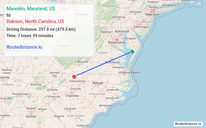
The straight-line (air) distance is approximately 185.1 mi (297.8 km)
Estimated travel time by road is 7 hours 46 minutes
We found 3 routes between Manokin and Dobson.
Available Routes
Route Directions
Get on US-50 W in Queen Anne's County from US-13 N
Continue on US-50 W. Take I-495 N, I-66 W, I-81 S and I-77 S to Red Brush Rd in Surry County. Take exit 8 from I-74
Continue on Red Brush Rd. Drive to US-601 BUS S/N Main St in Dobson
Route Directions
Get on US-50 W in Queen Anne's County from US-13 N
Continue on US-50 W. Take I-66 W, I-81 S and I-77 S to Red Brush Rd in Surry County. Take exit 8 from I-74
Continue on Red Brush Rd. Drive to US-601 BUS S/N Main St in Dobson
Route Directions
Take MD-361 E to US-13 S in Westover
Continue on US-13 S. Take US-58 W, I-85 S, I-40 and US-52 N to US-601 BUS S in Surry County
Journey Details
Traveling from Manokin, Maryland to Dobson, North Carolina covers 419.4 miles (675 km) in a west direction. This highway, long-distance route typically takes 6 hours 59 minutes under normal conditions.
Drivers have 3 route options between these locations (419-493 miles / 675-794 km). The primary route shown here saves 47 minutes compared to alternatives.
The route features scenic views, toll sections. During night weekday travel, expect minimal traffic congestion with average speeds around 61 mph (98 km/h) .
Journey Waypoints
Manokin
Starting Point
Dobson
Destination
Route Map Image