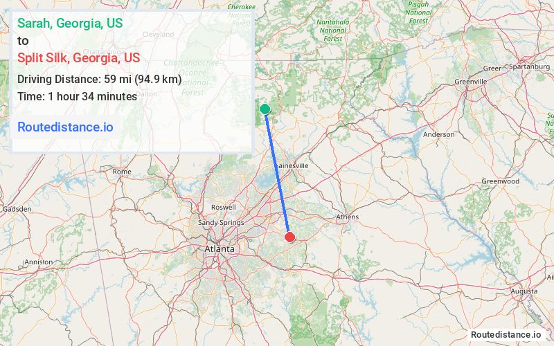
Distance from Sarah, Georgia to Split Silk, Georgia
The driving distance from Sarah, Georgia to Split Silk, Georgia is 80.4 mi (129.4 km)
The straight-line (air) distance is approximately 36.6 mi (59 km)
Estimated travel time by road is 2 hours 2 minutes
We found 3 routes between Sarah and Split Silk.
Available Routes
Route Directions
Follow Coopers Gap Rd to GA-60 S
Take Georgia 9 N to GA-60 S/US-19 S in Dahlonega
Get on I-985 S in Hall County
Follow I-985 S, GA-53 E/Hwy 53 E and GA Hwy 211 S to W Winder Byp in Winder
Continue on W Winder Byp. Take Hwy 81 S, Double Springs Rd SW and New Hope Church Rd to US-78 W in Between
Route Directions
Follow Coopers Gap Rd to GA-60 S
Take Georgia 9 N to GA-60 S/US-19 S in Dahlonega
Get on I-985 S in Hall County
Follow I-985 S and GA-20 E/Buford Dr to Jackson St in Lawrenceville
Take New Hope Rd, Chandler Rd, Ozora Rd and Bay Creek Church Rd to US-78 E in Walton County
Drive to US-78 W
Route Directions
Follow Coopers Gap Rd to GA-60 S
Continue on GA-60 S. Take US-19 S/Georgia 9 N, GA-60 S, Hwy 53 E and Hwy 81 S to US-78 W in Walton County
Journey Details
Traveling from Sarah, Georgia to Split Silk, Georgia covers 79.7 miles (128 km) in a south direction. This secondary roads, substantial route typically takes 2 hours 3 minutes under normal conditions.
Drivers have 3 route options between these locations (80-81 miles / 128-131 km). The primary route shown here saves no time compared to alternatives.
The route features scenic views. During night weekday travel, expect minimal traffic congestion with average speeds around 39 mph (63 km/h) .
Journey Waypoints
Sarah
Starting Point
Split Silk
Destination
Route Map Image