Distance to Aho, North Carolina

Calculating Your Route
Just a moment while we process your request...
Location Information
-
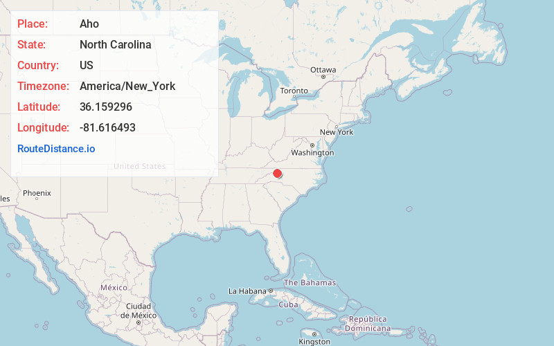
Full AddressAho, NC 28607
-
Coordinates36.1592957, -81.6164933
-
LocationAho , North Carolina , US
-
TimezoneAmerica/New_York
-
Current Local Time8:45:27 AM America/New_YorkTuesday, June 17, 2025
-
Page Views0
About Aho
Aho is an unincorporated community located in Watauga County, North Carolina, United States. Possibly named after the Aho Branch that flows nearby, the community is located along the Blue Ridge Parkway at Bentley Knob, northeast of Blowing Rock.
Nearby Places
Found 10 places within 50 miles

Blowing Rock
3.8 mi
6.1 km
Blowing Rock, NC
Get directions

Bailey Camp
4.1 mi
6.6 km
Bailey Camp, NC 28645
Get directions

Boone
5.5 mi
8.9 km
Boone, NC
Get directions
Soda Hill
8.2 mi
13.2 km
Soda Hill, NC 28607
Get directions

Foscoe
8.3 mi
13.4 km
Foscoe, NC
Get directions
Brownwood
8.8 mi
14.2 km
Brownwood, NC 28684
Get directions
Mt Zion
9.5 mi
15.3 km
Mt Zion, NC 28624
Get directions

Valle Crucis
9.7 mi
15.6 km
Valle Crucis, NC
Get directions
Harley
11.5 mi
18.5 km
Harley, NC 28665
Get directions

Seven Devils
11.7 mi
18.8 km
Seven Devils, NC 28604
Get directions
Location Links
Local Weather
Weather Information
Coming soon!
Location Map
Static map view of Aho, North Carolina
Browse Places by Distance
Places within specific distances from Aho
Short Distances
Long Distances
Click any distance to see all places within that range from Aho. Distances shown in miles (1 mile ≈ 1.61 kilometers).