Distance to and from Alma, Oklahoma
Alma, OK 73481
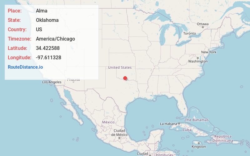
Alma
Oklahoma
US
America/Chicago
Location Information
-
Full AddressAlma, OK 73481
-
Coordinates34.422588, -97.611328
-
LocationAlma , Oklahoma , US
-
TimezoneAmerica/Chicago
-
Current Local Time3:35:47 PM America/ChicagoSaturday, May 3, 2025
-
Page Views0
Directions to Nearest Cities
About Alma
Alma is a rural community located in southwestern Stephens County, Oklahoma, United States. The Alma Post Office, said to be named for Alma Peeples, was opened February 14, 1906.
At the time of its founding, Alma was located in Pickens County, Chickasaw Nation.


Nearby Places
Found 10 places within 50 miles

Velma
4.4 mi
7.1 km
Velma, OK 73491
Get directions

Ratliff City
6.1 mi
9.8 km
Ratliff City, OK 73481
Get directions

Loco
7.6 mi
12.2 km
Loco, OK 73442
Get directions

Fox
7.9 mi
12.7 km
Fox, OK
Get directions

Tatums
9.5 mi
15.3 km
Tatums, OK
Get directions
Cottonwood Creek
11.3 mi
18.2 km
Cottonwood Creek, Oklahoma 73438
Get directions

Graham
11.7 mi
18.8 km
Graham, OK 73458
Get directions

Pooleville
12.1 mi
19.5 km
Pooleville, OK 73458
Get directions

Healdton
14.9 mi
24.0 km
Healdton, OK
Get directions
Foster
15.1 mi
24.3 km
Foster, OK
Get directions
Velma
4.4 mi
7.1 km
Velma, OK 73491
Ratliff City
6.1 mi
9.8 km
Ratliff City, OK 73481
Loco
7.6 mi
12.2 km
Loco, OK 73442
Fox
7.9 mi
12.7 km
Fox, OK
Tatums
9.5 mi
15.3 km
Tatums, OK
Cottonwood Creek
11.3 mi
18.2 km
Cottonwood Creek, Oklahoma 73438
Graham
11.7 mi
18.8 km
Graham, OK 73458
Pooleville
12.1 mi
19.5 km
Pooleville, OK 73458
Healdton
14.9 mi
24.0 km
Healdton, OK
Foster
15.1 mi
24.3 km
Foster, OK
Location Links
Local Weather
Weather Information
Coming soon!
Location Map
Static map view of Alma, Oklahoma
Browse Places by Distance
Places within specific distances from Alma
Short Distances
Long Distances
Click any distance to see all places within that range from Alma. Distances shown in miles (1 mile ≈ 1.61 kilometers).