Distance to Alpine Meadows, California

Calculating Your Route
Just a moment while we process your request...
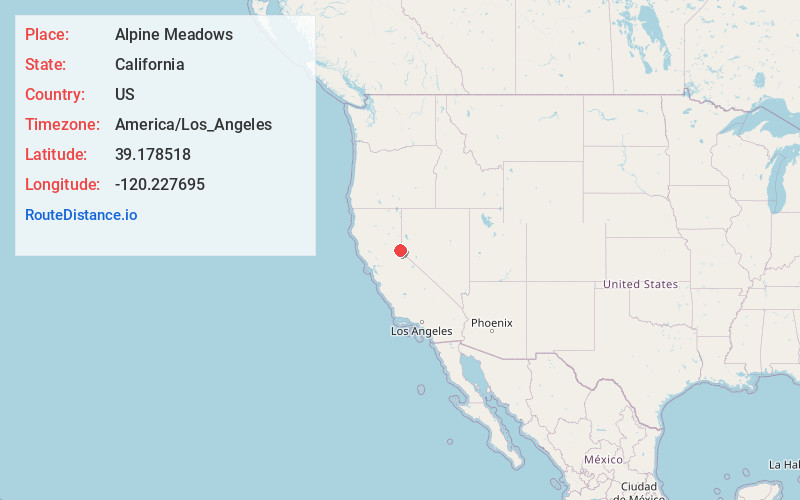
Location Information
-
Full AddressAlpine Meadows, CA 96146
-
Coordinates39.1785177, -120.2276948
-
LocationAlpine Meadows , California , US
-
TimezoneAmerica/Los_Angeles
-
Current Local Time5:03:27 PM America/Los_AngelesThursday, June 19, 2025
-
Page Views0
About Alpine Meadows
Alpine Meadows is an unincorporated community in Placer County, California. The community is located on Bear Creek, a tributary of the Truckee River 5 miles west of Tahoe City, at an elevation of 6,480 ft.


Nearby Places
Found 10 places within 50 miles

Olympic Valley
1.3 mi
2.1 km
Olympic Valley, CA 96146
Get directions

Rampart
2.8 mi
4.5 km
Rampart, CA 96146
Get directions

Tahoe City
4.5 mi
7.2 km
Tahoe City, CA
Get directions

Tahoe Pines
6.3 mi
10.1 km
Tahoe Pines, CA 96141
Get directions

Dollar Point
6.9 mi
11.1 km
Dollar Point, CA 96145
Get directions

Homewood
7.3 mi
11.7 km
Homewood, CA
Get directions
The Cedars
8.5 mi
13.7 km
The Cedars, CA 96161
Get directions
Eder
9.0 mi
14.5 km
Eder, CA 96161
Get directions
Andover
9.2 mi
14.8 km
Andover, CA 96161
Get directions

Tahoma
9.3 mi
15.0 km
Tahoma, CA 96142
Get directions
Location Links
Local Weather
Weather Information
Coming soon!
Location Map
Static map view of Alpine Meadows, California
Browse Places by Distance
Places within specific distances from Alpine Meadows
Short Distances
Long Distances
Click any distance to see all places within that range from Alpine Meadows. Distances shown in miles (1 mile ≈ 1.61 kilometers).