Distance to Applegate, Oregon

Calculating Your Route
Just a moment while we process your request...
Location Information
-
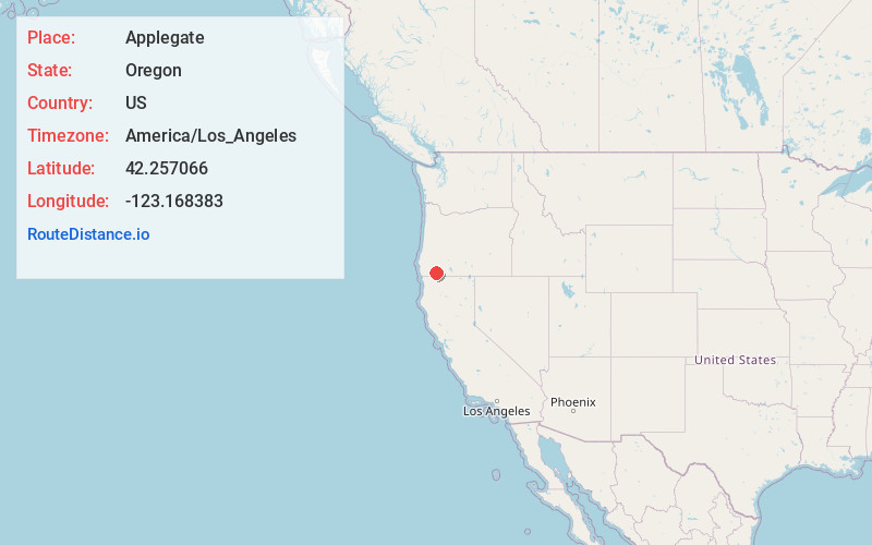
Full AddressApplegate, OR 97527
-
Coordinates42.2570662, -123.1683833
-
LocationApplegate , Oregon , US
-
TimezoneAmerica/Los_Angeles
-
Current Local Time12:27:13 AM America/Los_AngelesWednesday, June 18, 2025
-
Page Views0
About Applegate
Applegate is an unincorporated community in Jackson County, Oregon, United States. It is west of Medford on Oregon Route 238 and the Applegate River. The community was probably named for Lindsay Applegate, who, along with his brothers Jesse and Charles, explored the Applegate Valley while blazing the Applegate Trail.


Nearby Places
Found 10 places within 50 miles

Provolt
3.8 mi
6.1 km
Provolt, OR 97527
Get directions

Williams
6.0 mi
9.7 km
Williams, OR 97544
Get directions

Ruch
6.7 mi
10.8 km
Ruch, OR 97530
Get directions

McKee Bridge
10.1 mi
16.3 km
McKee Bridge, OR 97530
Get directions
Foots Creek
10.3 mi
16.6 km
Foots Creek, OR 97525
Get directions

Murphy
10.5 mi
16.9 km
Murphy, OR 97527
Get directions

Buncom
10.5 mi
16.9 km
Buncom, OR 97530
Get directions

Jacksonville
11.0 mi
17.7 km
Jacksonville, OR 97530
Get directions

Rogue River
12.4 mi
20.0 km
Rogue River, OR
Get directions
Rock Point
12.4 mi
20.0 km
Rock Point, OR 97525
Get directions
Location Links
Local Weather
Weather Information
Coming soon!
Location Map
Static map view of Applegate, Oregon
Browse Places by Distance
Places within specific distances from Applegate
Short Distances
Long Distances
Click any distance to see all places within that range from Applegate. Distances shown in miles (1 mile ≈ 1.61 kilometers).