Distance to Augsburg, Arkansas

Calculating Your Route
Just a moment while we process your request...
Location Information
-
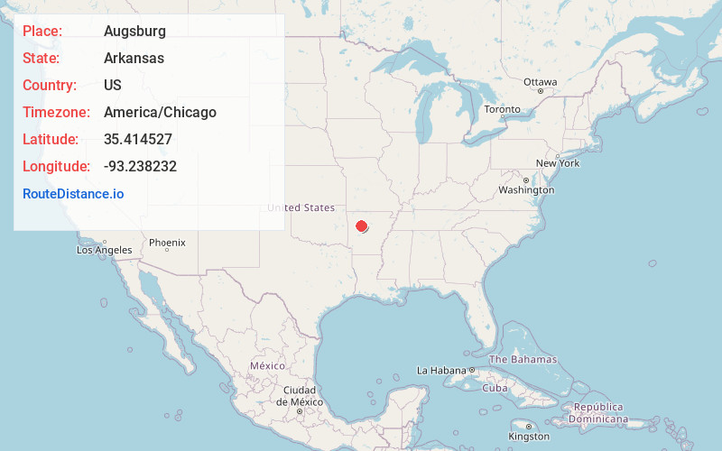
Full AddressAugsburg, AR 72837
-
Coordinates35.4145271, -93.2382324
-
LocationAugsburg , Arkansas , US
-
TimezoneAmerica/Chicago
-
Current Local Time2:12:48 PM America/ChicagoSunday, June 1, 2025
-
Page Views0
About Augsburg
Augsburg is an unincorporated community in Pope County, Arkansas, United States.
In 1883, the first German-speaking Lutheran families began arriving in Pope County, 15 miles northwest of Russellville.
Augsburg was named for the German city of Augsburg. In 1884, they built their first church, Zion Lutheran Church.
Nearby Places
Found 10 places within 50 miles

Hickeytown
4.1 mi
6.6 km
Hickeytown, AR 72847
Get directions

London
5.8 mi
9.3 km
London, AR
Get directions

Holman
6.3 mi
10.1 km
Holman, AR 72846
Get directions

Dover
7.0 mi
11.3 km
Dover, AR
Get directions

Knoxville
7.4 mi
11.9 km
Knoxville, AR
Get directions

Hagarville
8.5 mi
13.7 km
Hagarville, AR
Get directions

Lamar
8.6 mi
13.8 km
Lamar, AR
Get directions
Delaware
9.7 mi
15.6 km
Delaware, AR 72835
Get directions
Sills
9.7 mi
15.6 km
Sills, AR 72834
Get directions

Russellville
11.1 mi
17.9 km
Russellville, AR
Get directions
Location Links
Local Weather
Weather Information
Coming soon!
Location Map
Static map view of Augsburg, Arkansas
Browse Places by Distance
Places within specific distances from Augsburg
Short Distances
Long Distances
Click any distance to see all places within that range from Augsburg. Distances shown in miles (1 mile ≈ 1.61 kilometers).