Distance to Bagdad, California

Calculating Your Route
Just a moment while we process your request...
Location Information
-
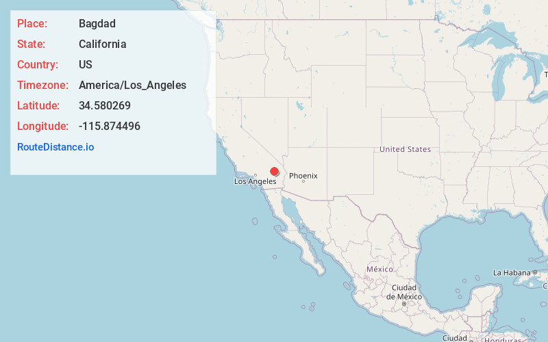
Full AddressBagdad, CA
-
Coordinates34.580269, -115.874496
-
LocationBagdad , California , US
-
TimezoneAmerica/Los_Angeles
-
Current Local Time9:21:35 PM America/Los_AngelesSunday, June 22, 2025
-
Page Views0
About Bagdad
Bagdad is a ghost town in the Mojave Desert, in San Bernardino County, California.


Nearby Places
Found 10 places within 50 miles

Siberia
7.2 mi
11.6 km
Siberia, CA
Get directions

Amboy
7.6 mi
12.2 km
Amboy, CA 92304
Get directions

Orange Blossom Mine
8.9 mi
14.3 km
Orange Blossom Mine, California
Get directions

Klondike
9.5 mi
15.3 km
Klondike, CA
Get directions
Saltus
10.9 mi
17.5 km
Saltus, CA 92277
Get directions

Ragtown
16.8 mi
27.0 km
Ragtown, CA 92338
Get directions
Stedman
17.0 mi
27.4 km
Stedman, CA 92338
Get directions

Chambless
18.8 mi
30.3 km
Chambless, CA 92304
Get directions

Ludlow
18.9 mi
30.4 km
Ludlow, CA 92338
Get directions

Cadiz
21.0 mi
33.8 km
Cadiz, CA 92277
Get directions
Location Links
Local Weather
Weather Information
Coming soon!
Location Map
Static map view of Bagdad, California
Browse Places by Distance
Places within specific distances from Bagdad
Short Distances
Long Distances
Click any distance to see all places within that range from Bagdad. Distances shown in miles (1 mile ≈ 1.61 kilometers).