Distance to Ragtown, California

Calculating Your Route
Just a moment while we process your request...
Location Information
-
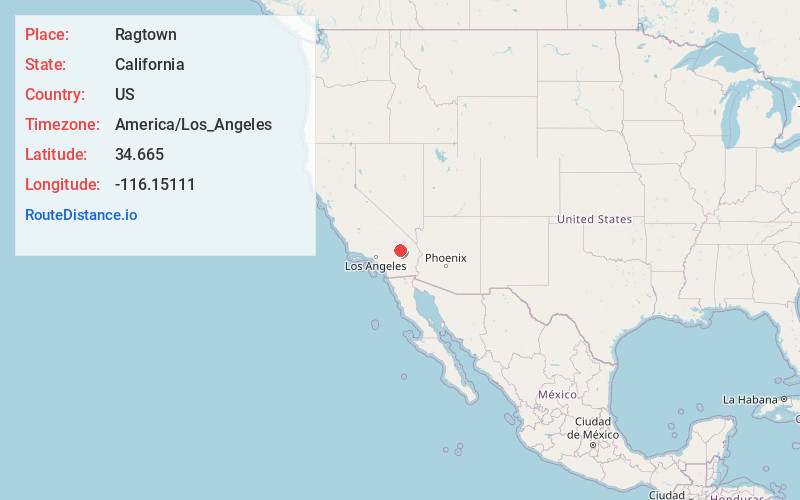
Full AddressRagtown, CA 92338
-
Coordinates34.665, -116.15111
-
LocationRagtown , California , US
-
TimezoneAmerica/Los_Angeles
-
Current Local Time2:27:44 PM America/Los_AngelesThursday, June 5, 2025
-
Page Views0
About Ragtown
Ragtown was a mining town, now a ghost town, in the Mojave Desert, San Bernardino County, California, United States. John Sutter found gold in the Bagdad-Chase area in about 1898. Ragtown is just north of Stedman, California on Bagdad Chase Road.


Nearby Places
Found 10 places within 50 miles

Ludlow
3.9 mi
6.3 km
Ludlow, CA 92338
Get directions

Klondike
8.4 mi
13.5 km
Klondike, CA
Get directions

Orange Blossom Mine
20.8 mi
33.5 km
Orange Blossom Mine, California
Get directions

Amboy
24.3 mi
39.1 km
Amboy, CA 92304
Get directions
Sands
26.9 mi
43.3 km
Sands, CA
Get directions
Basin
27.4 mi
44.1 km
Basin, CA 92309
Get directions
Saltus
27.7 mi
44.6 km
Saltus, CA 92277
Get directions

Sunfair Heights
29.6 mi
47.6 km
Sunfair Heights, CA 92252
Get directions

Desert Heights
32.1 mi
51.7 km
Desert Heights, CA 92277
Get directions

Homestead Valley
33.2 mi
53.4 km
Homestead Valley, CA
Get directions
Location Links
Local Weather
Weather Information
Coming soon!
Location Map
Static map view of Ragtown, California
Browse Places by Distance
Places within specific distances from Ragtown
Short Distances
Long Distances
Click any distance to see all places within that range from Ragtown. Distances shown in miles (1 mile ≈ 1.61 kilometers).