Distance to Chambless, California

Calculating Your Route
Just a moment while we process your request...
Location Information
-
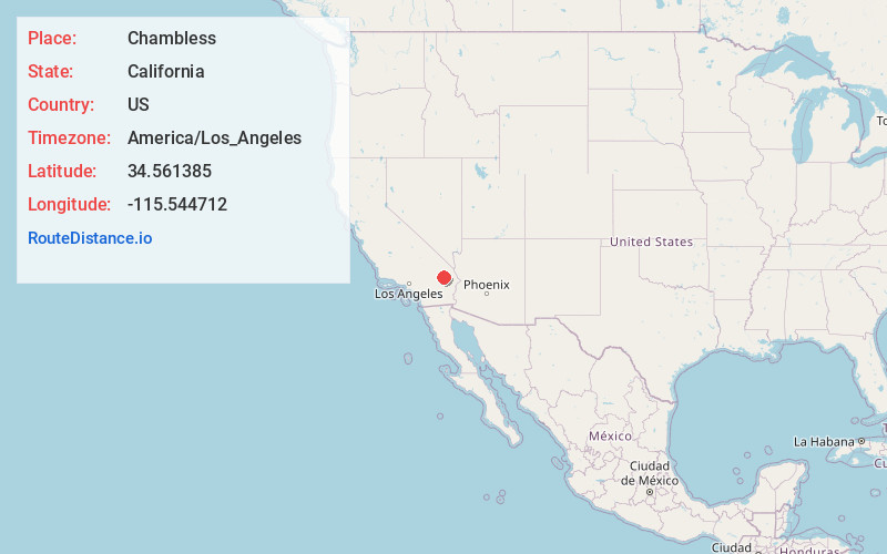
Full AddressChambless, CA 92304
-
Coordinates34.5613853, -115.544712
-
LocationChambless , California , US
-
TimezoneAmerica/Los_Angeles
-
Current Local Time6:59:50 AM America/Los_AngelesThursday, May 22, 2025
-
Page Views0
About Chambless
Chambless is a ghost town in the Mojave Desert of San Bernardino County, California, United States, south of Interstate 40 on the historic Route 66.
Chambless is east of the Bullion Mountains and Ludlow and ten miles east of Amboy Crater and Amboy, California.


Nearby Places
Found 10 places within 50 miles

Saltus
8.4 mi
13.5 km
Saltus, CA 92277
Get directions

Amboy
11.4 mi
18.3 km
Amboy, CA 92304
Get directions
Danby
12.3 mi
19.8 km
Danby, CA 92332
Get directions
Orange Blossom Mine
16.2 mi
26.1 km
Orange Blossom Mine, California
Get directions
Fishel
24.4 mi
39.3 km
Fishel, CA 92277
Get directions

Klondike
27.1 mi
43.6 km
Klondike, CA
Get directions
Bush
29.8 mi
48.0 km
Bush, CA 92277
Get directions
Hayden
33.6 mi
54.1 km
Hayden, CA 92332
Get directions

Ragtown
35.2 mi
56.6 km
Ragtown, CA 92338
Get directions

Ludlow
36.7 mi
59.1 km
Ludlow, CA 92338
Get directions
Location Links
Local Weather
Weather Information
Coming soon!
Location Map
Static map view of Chambless, California
Browse Places by Distance
Places within specific distances from Chambless
Short Distances
Long Distances
Click any distance to see all places within that range from Chambless. Distances shown in miles (1 mile ≈ 1.61 kilometers).